Related Images

Download:
| Tiny | 196x128 | View | Download |
| Small | 393x256 | View | Download |
| Medium | 786x512 | View | Download |
| Large | 1572x1024 | View | Download |
| Original | 7001x4560 | View | Download |
This image was acquired from
wikimedia. It was marked as Public Domain or CC0 and is free to use. To verify, go to the source and check the information there.
Looking for more info about this image?
Try a Google Reverse Image Search for it.
Try a Google Reverse Image Search for it.
Keywords from Image Description:
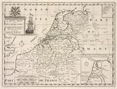
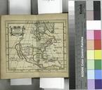
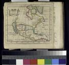
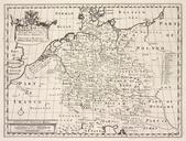
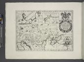
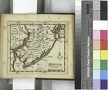
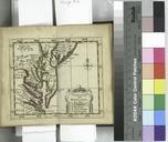
A georgraphical table containing the principal countries kingdoms provinces islands cities towns rivers c. of the now known World the whole adjusted to ancient geography and so contrived NYPL b. en Imprimatur Gu Paynter vicecan Oxon Sept Citation Phillips Lawrence Slaughter Collection NYPL copy has inscription in ink inside