Related Images


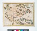


Download:
| Tiny | 169x128 | View | Download |
| Small | 339x256 | View | Download |
| Medium | 679x512 | View | Download |
| Large | 1359x1024 | View | Download |
| Original | 4996x3762 | View | Download |
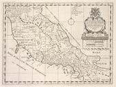
This image was acquired from
wikimedia. It was marked as Public Domain or CC0 and is free to use. To verify, go to the source and check the information there.
Looking for more info about this image?
Try a Google Reverse Image Search for it.
Try a Google Reverse Image Search for it.
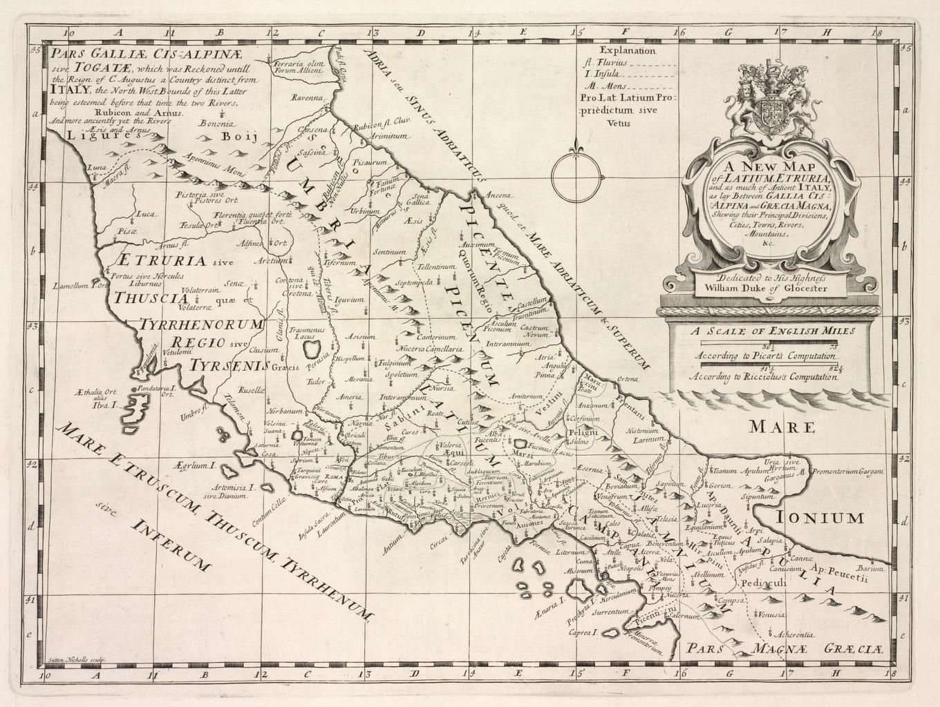
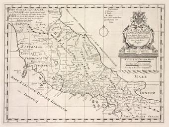
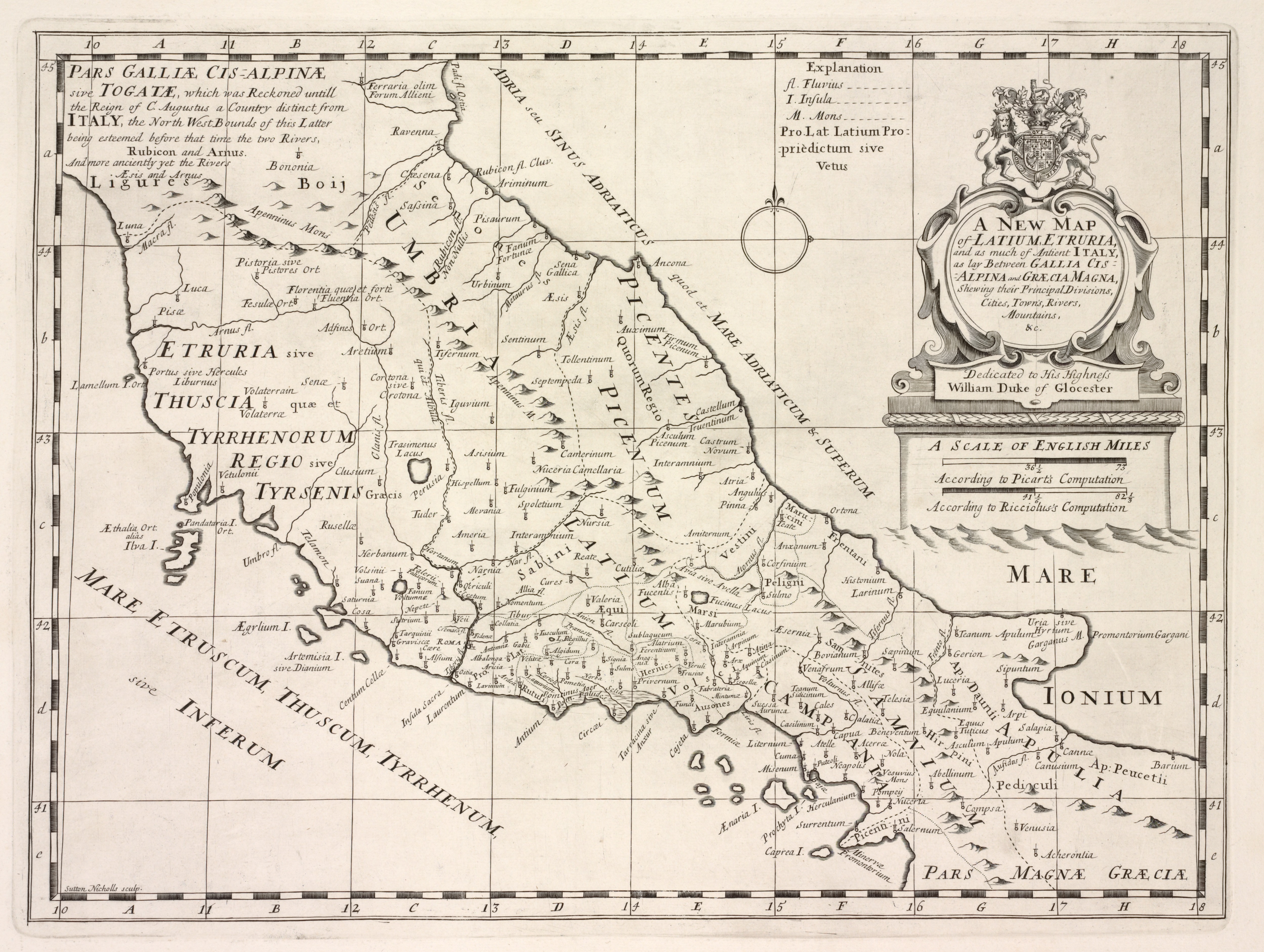
Keywords from Image Description:
A new map of Latium Etruria and as much of ancient Itally as lay between Gallia Cisalpina and Grcia Magna shewing their principal divisions cities towns rivers mountains NYPL b. en Imprimatur Gu Paynter vicecan Oxon Sept Citation Phillips Lawrence Slaughter Collection NYPL copy has inscription in ink inside front cover Martin