Related Images


Download:
| Tiny | 155x128 | View | Download |
| Small | 310x256 | View | Download |
| Medium | 620x512 | View | Download |
| Large | 1240x1024 | View | Download |
| Original | 8088x6675 | View | Download |
This image was acquired from
wikimedia. It was marked as Public Domain or CC0 and is free to use. To verify, go to the source and check the information there.
Looking for more info about this image?
Try a Google Reverse Image Search for it.
Try a Google Reverse Image Search for it.
Keywords from Image Description:
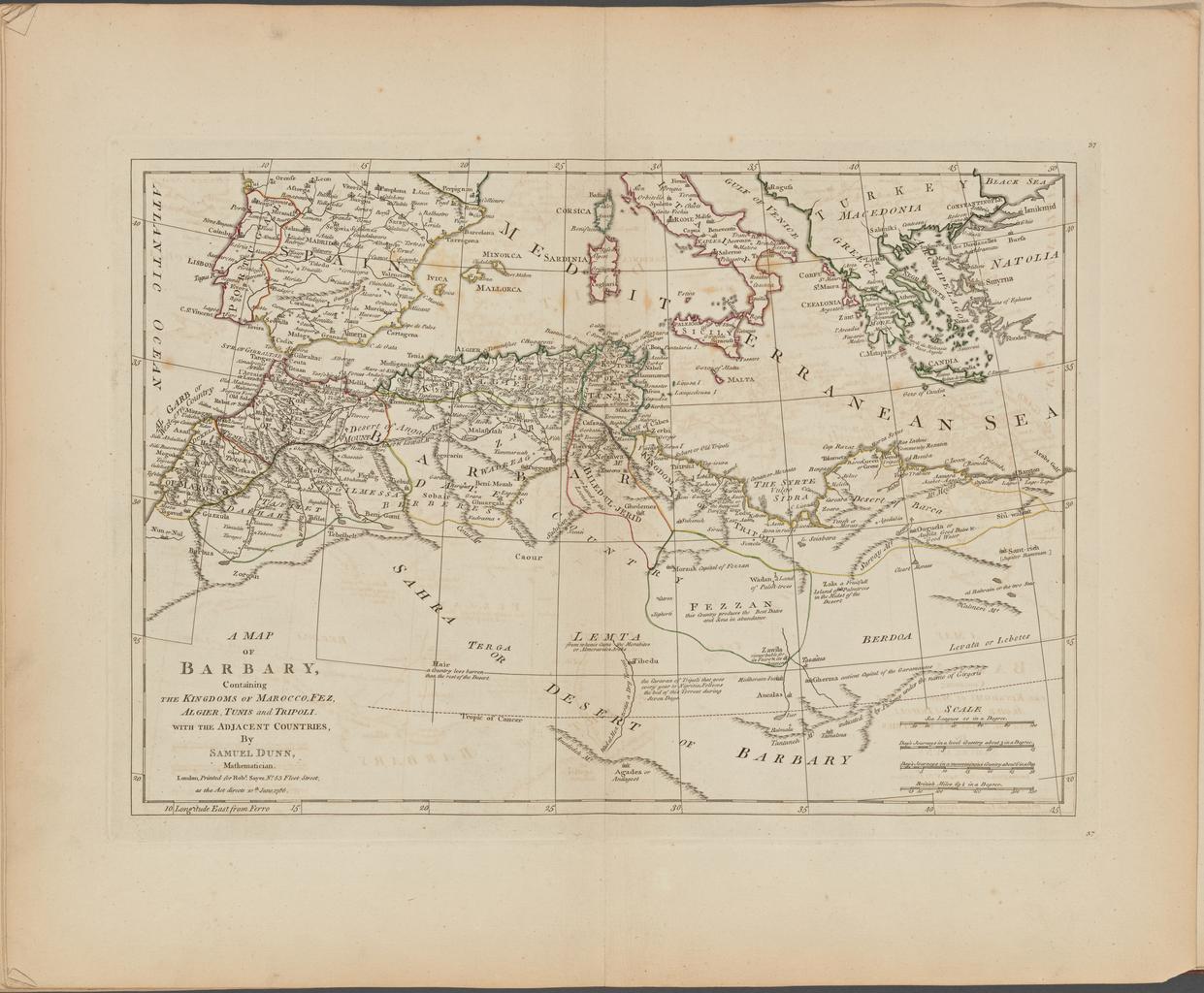
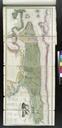
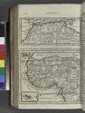
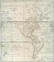
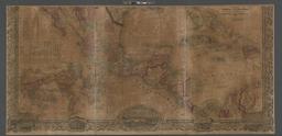
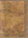
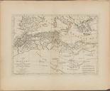
A map of Barbary containing the Kingdoms of Marocco Fez Algier Tunis and Tripoli with the adjacent countries NYPL b. nypl org Printed for Robert Sayer No FleetStreet map of Barbary containing the Kingdoms of Marocco Fez Algier Tunis and Tripoli with the adjacent countries Atlases British Early works to Geography London dcfcafedab