
Related Images

Download:
| Tiny | 179x128 | View | Download |
| Small | 359x256 | View | Download |
| Medium | 718x512 | View | Download |
| Large | 1436x1024 | View | Download |
| Original | 14458x10307 | View | Download |
This image was acquired from
wikimedia. It was marked as Public Domain or CC0 and is free to use. To verify, go to the source and check the information there.
Looking for more info about this image?
Try a Google Reverse Image Search for it.
Try a Google Reverse Image Search for it.
Keywords from Image Description:
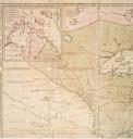
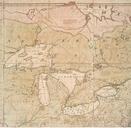
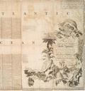
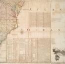
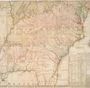
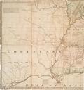
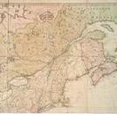
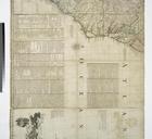
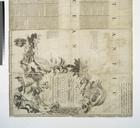
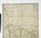
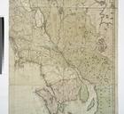
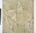
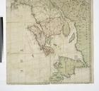
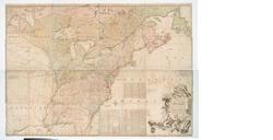
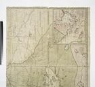
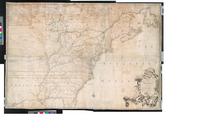
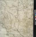
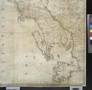
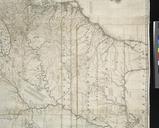
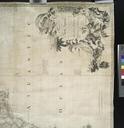
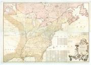
A map of the British colonies in North America with the roads distances limits and extent of the settlements .. NYPL b. en Citation LC Maps of North America Citation Stevens Tree Comparative cartography Includes text and inset new map of Hudson's Bay and Labrador from the late surveys of those coasts National Endowment for the