Download:
| Tiny | 98x128 | View | Download |
| Small | 196x256 | View | Download |
| Medium | 393x512 | View | Download |
| Large | 787x1024 | View | Download |
| Original | 4160x5411 | View | Download |
This image was acquired from
wikimedia. It was marked as Public Domain or CC0 and is free to use. To verify, go to the source and check the information there.
Looking for more info about this image?
Try a Google Reverse Image Search for it.
Try a Google Reverse Image Search for it.
Keywords from Image Description:
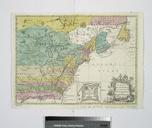
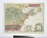
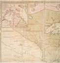
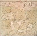
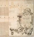
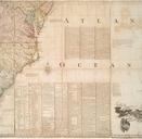
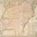
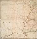
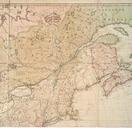
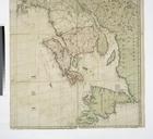
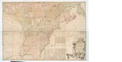
A map of the British and French settlements in North America NYPL b. en Relief shown pictorially Shows boundaries cities and towns forts Indian villages and tribal territory and Earl Granville's Property Citation LC Maps of North America The French Incroachments are shewn by Oblique strokes and their Forts with two Strokes the


