Related Images

Download:
| Tiny | 109x128 | View | Download |
| Small | 218x256 | View | Download |
| Medium | 436x512 | View | Download |
| Large | 873x1024 | View | Download |
| Original | 4161x4880 | View | Download |
This image was acquired from
wikimedia. It was marked as Public Domain or CC0 and is free to use. To verify, go to the source and check the information there.
Looking for more info about this image?
Try a Google Reverse Image Search for it.
Try a Google Reverse Image Search for it.
Keywords from Image Description:
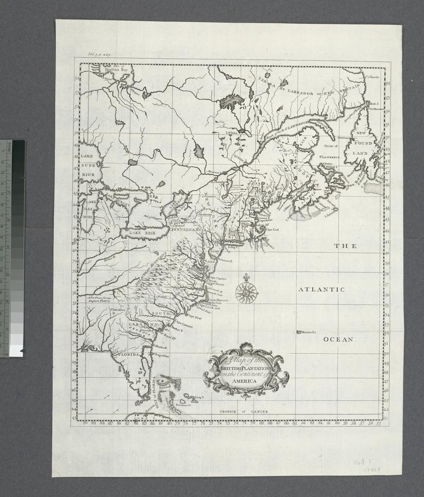
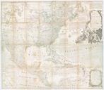
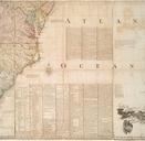
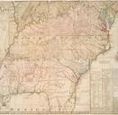
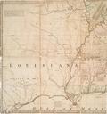
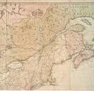
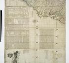
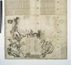
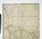
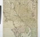
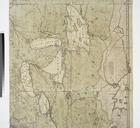
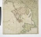
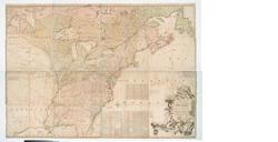
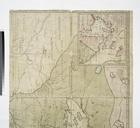
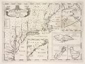
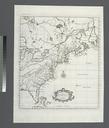
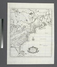
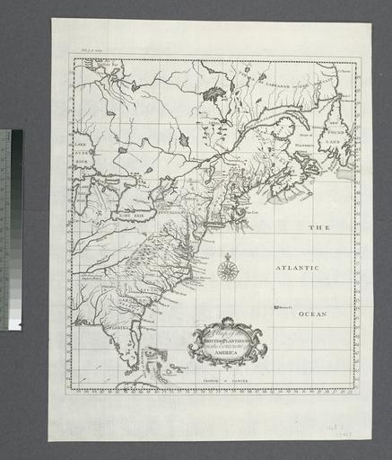
A map of the Britishplantations on the continent of America NYPL b. en In upper left margin Vol Lawrence Slaughter Collection Modern history illustrated with cuts and maps by Herman Moll National Endowment for the Humanities Grant for Access to Early Maps of the Middle Atlantic Seaboard Probably from Modern history or The present