
Related Images

Download:
| Tiny | 162x128 | View | Download |
| Small | 324x256 | View | Download |
| Medium | 648x512 | View | Download |
| Large | 1296x1024 | View | Download |
| Original | 5013x3959 | View | Download |
This image was acquired from
wikimedia. It was marked as Public Domain or CC0 and is free to use. To verify, go to the source and check the information there.
Looking for more info about this image?
Try a Google Reverse Image Search for it.
Try a Google Reverse Image Search for it.
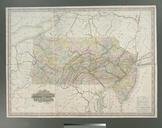
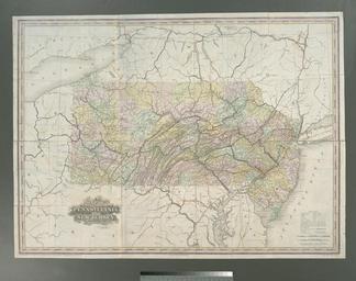
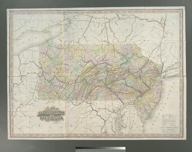
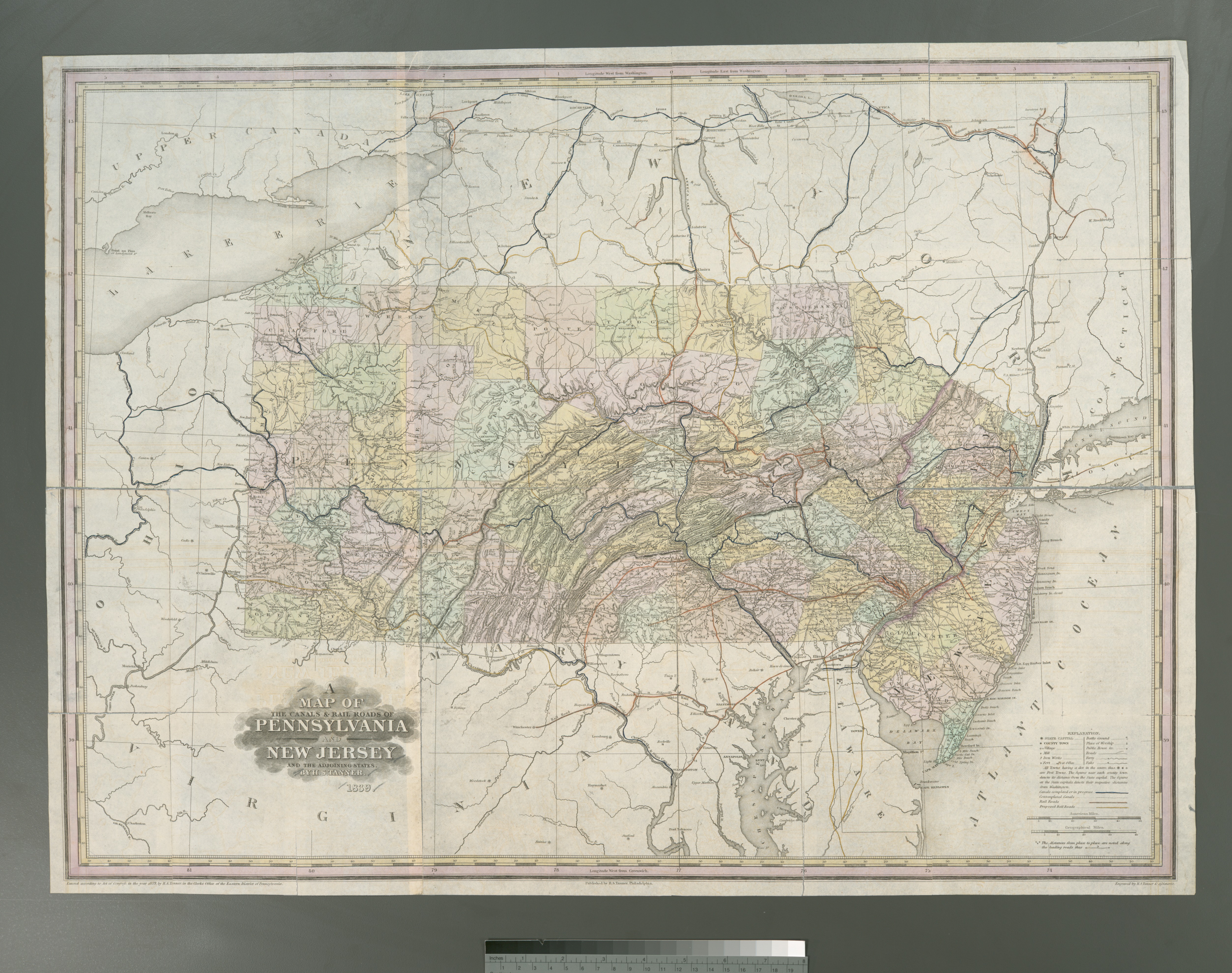
Keywords from Image Description:
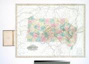
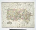
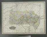
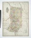
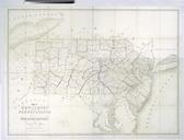
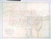
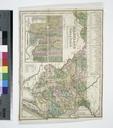
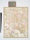
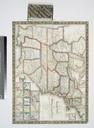
A map of the canals rail roads of Pennsylvania and New Jersey and the adjoining states NYPL b. en Also shows counties Includes notes National Endowment for the Humanities Grant for Access to Early Maps of the Middle Atlantic Seaboard Relief shown by hachures nypl org Scan by NYPL map of the canals rail roads of Pennsylvania and