Related Images


Download:
| Tiny | 167x128 | View | Download |
| Small | 335x256 | View | Download |
| Medium | 671x512 | View | Download |
| Large | 1342x1024 | View | Download |
| Original | 9440x7199 | View | Download |
This image was acquired from
wikimedia. It was marked as Public Domain or CC0 and is free to use. To verify, go to the source and check the information there.
Looking for more info about this image?
Try a Google Reverse Image Search for it.
Try a Google Reverse Image Search for it.
Keywords from Image Description:
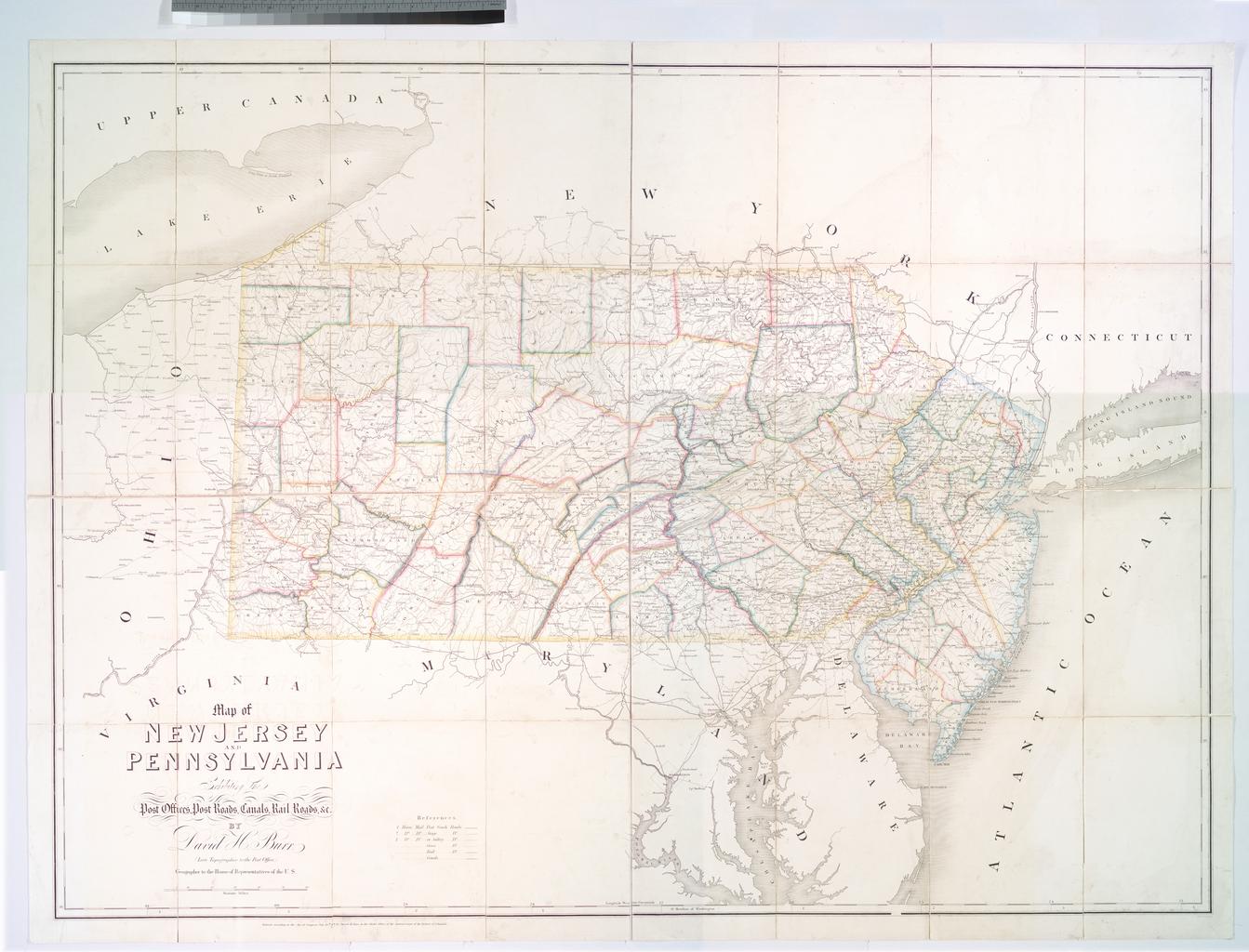
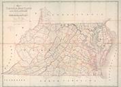
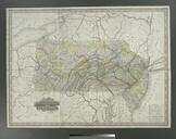
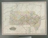
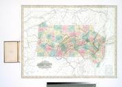
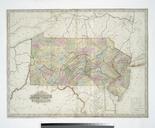
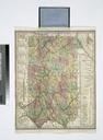
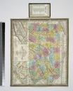
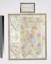
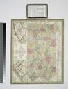
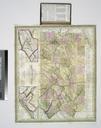
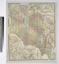
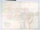
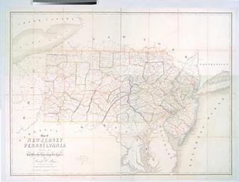
Map of New Jersey and Pennsylvania exhibiting the post offices post roads canals rail roads NYPL b. en Entered according to act of Congress July th by David Burr in the Clerk's Office of the District Court of the District of Columbia Also shows drainage county boundaries cities and towns In lower right margin John Arrowsmith Part