Related Images


Download:
| Tiny | 147x128 | View | Download |
| Small | 295x256 | View | Download |
| Medium | 591x512 | View | Download |
| Large | 1182x1024 | View | Download |
| Original | 4932x4272 | View | Download |
This image was acquired from
wikimedia. It was marked as Public Domain or CC0 and is free to use. To verify, go to the source and check the information there.
Looking for more info about this image?
Try a Google Reverse Image Search for it.
Try a Google Reverse Image Search for it.
Keywords from Image Description:
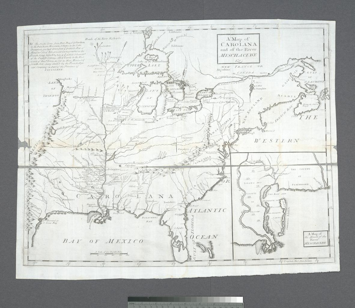
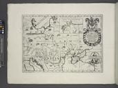
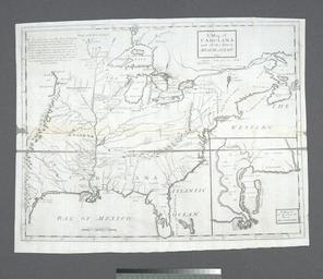
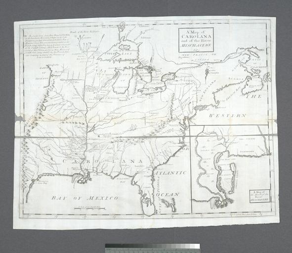
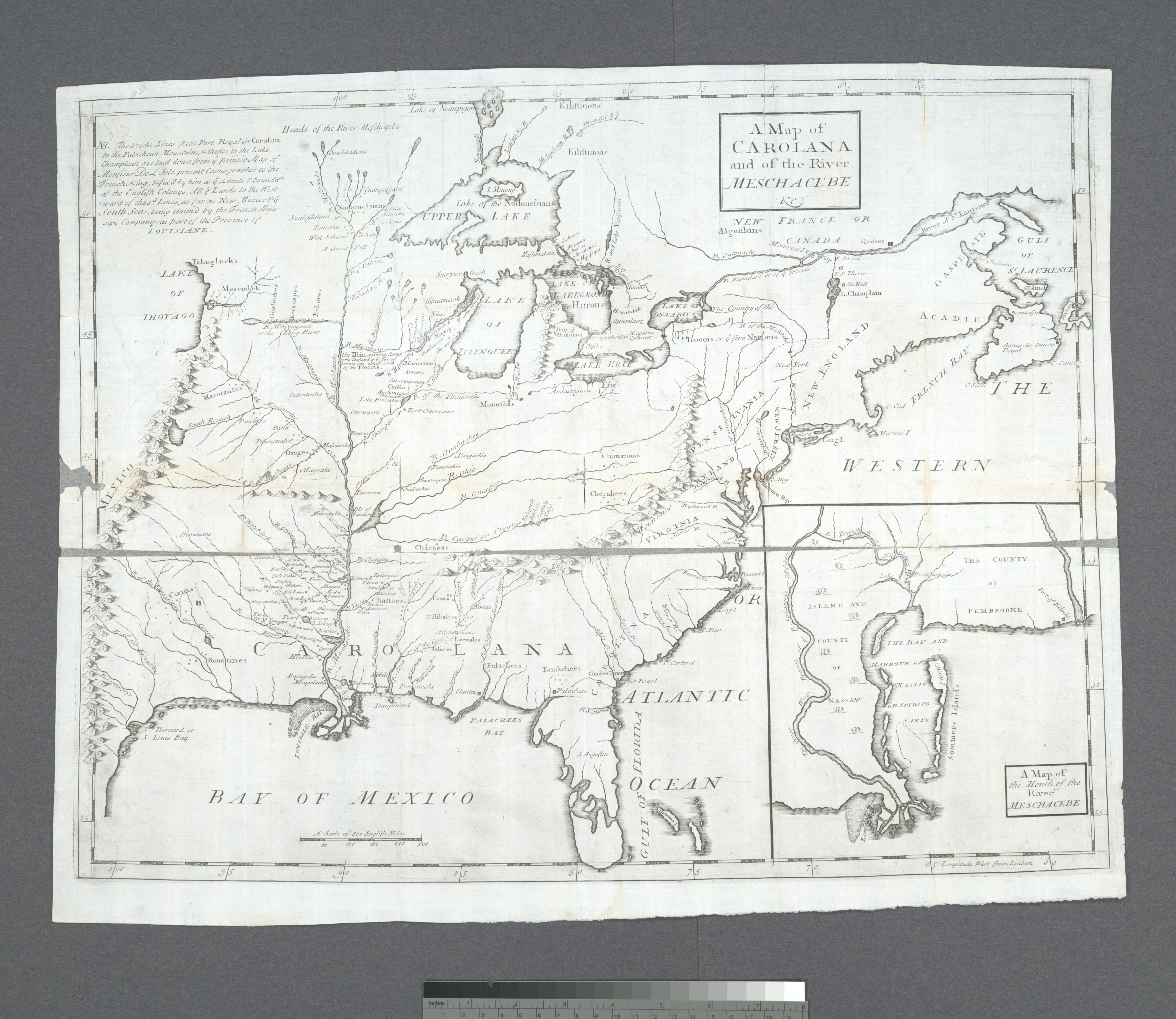
A Map of Carolana and of the River Meschacebe NYPL b. of the English province of Carolana and later eds Covers as far west as the Rocky Mountains Includes notes Inset Map of the mouth of the River Meschacebe Lawrence Slaughter Collection National Endowment for the Humanities Grant for Access to Early Maps of the Middle Atlantic