Related Images


Download:
| Tiny | 153x128 | View | Download |
| Small | 307x256 | View | Download |
| Medium | 614x512 | View | Download |
| Large | 1229x1024 | View | Download |
| Original tiff | 6299x5248 | View | Download |
| Original as jpg | 6299x5248 | View | Download |
This image was acquired from
wikimedia. It was marked as Public Domain or CC0 and is free to use. To verify, go to the source and check the information there.
Looking for more info about this image?
Try a Google Reverse Image Search for it.
Try a Google Reverse Image Search for it.
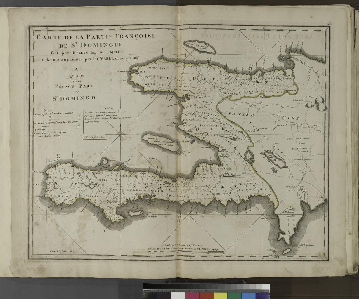
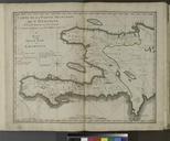
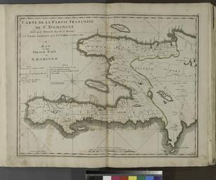
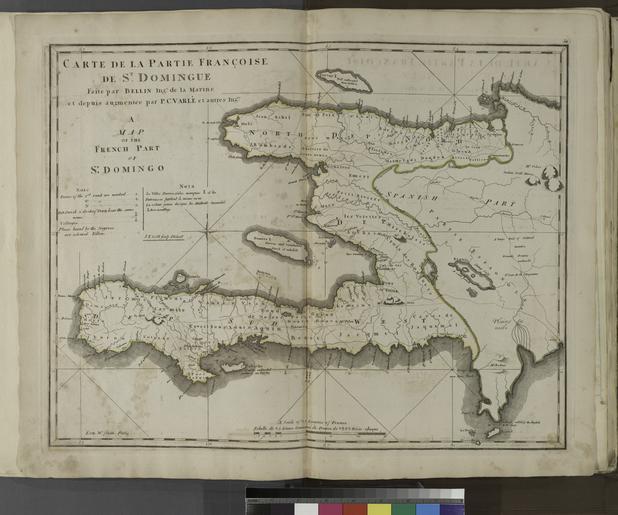
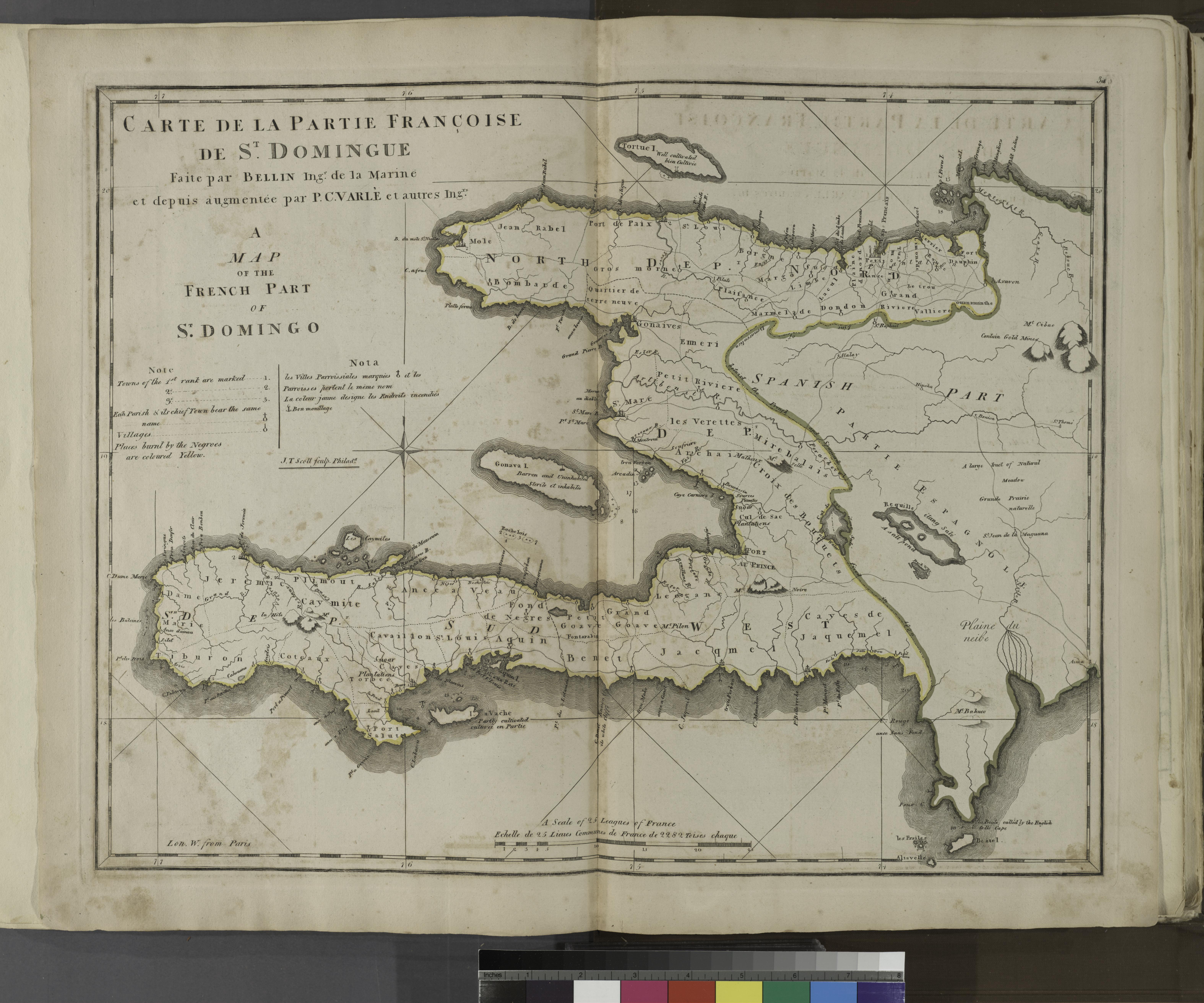
Keywords from Image Description:
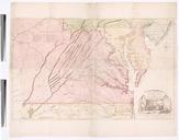
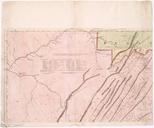
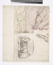
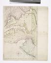
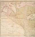
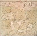
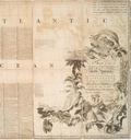
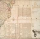
A map of the French part of St. Domingo. NYPL. atlas leaves of plates some folded hand col maps cm Phillips Manning Thomas Associated name Map Div Carey Mathew Publisher nypl org cfm imageID updated nypl org Atlases gazetteers guidebooks and other books Carey's general atlas improved and enlarged being collection