Related Images
Download:
| Tiny | 104x128 | View | Download |
| Small | 209x256 | View | Download |
| Medium | 418x512 | View | Download |
| Large | 837x1024 | View | Download |
| Original tiff | 4208x5145 | View | Download |
| Original as jpg | 4208x5145 | View | Download |
This image was acquired from
wikimedia. It was marked as Public Domain or CC0 and is free to use. To verify, go to the source and check the information there.
Looking for more info about this image?
Try a Google Reverse Image Search for it.
Try a Google Reverse Image Search for it.
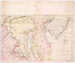
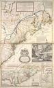
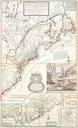
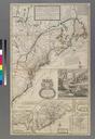
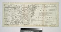
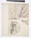
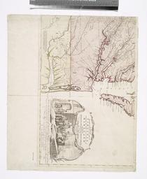
Keywords from Image Description:
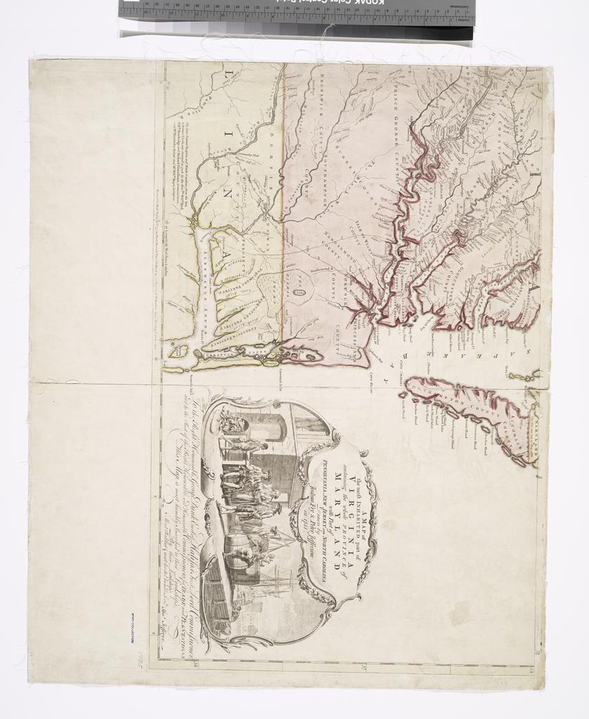
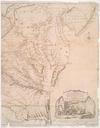
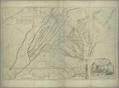
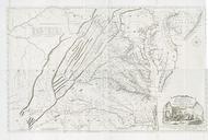
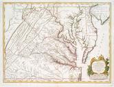
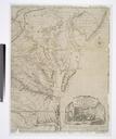
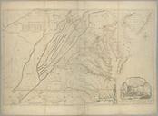
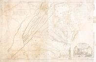
A map of the most inhabited part of Virginia containing the whole province of Maryland with part of Pensilvania New Jersey and North Carolina NYPL b. en To the Right Honourable George Dunk Earl of Halifax First Lord Commissioner and to the Rest of the Right Honourable and Honourable Commissioners for Trade and Plantations This map