Related Images

Download:
| Tiny | 301x128 | View | Download |
| Small | 603x256 | View | Download |
| Medium | 1207x512 | View | Download |
| Large | 2415x1024 | View | Download |
| Original | 9076x3848 | View | Download |
This image was acquired from
wikimedia. It was marked as Public Domain or CC0 and is free to use. To verify, go to the source and check the information there.
Looking for more info about this image?
Try a Google Reverse Image Search for it.
Try a Google Reverse Image Search for it.
Keywords from Image Description:
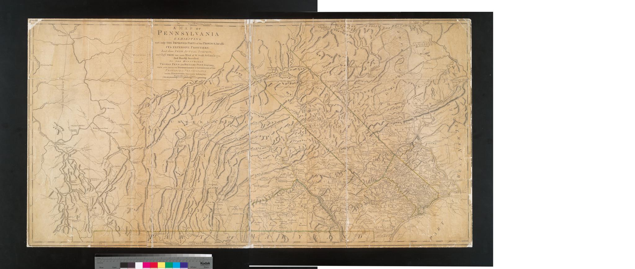
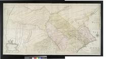
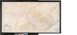
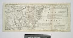
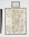
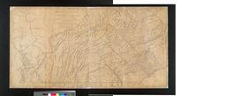
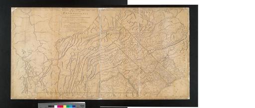
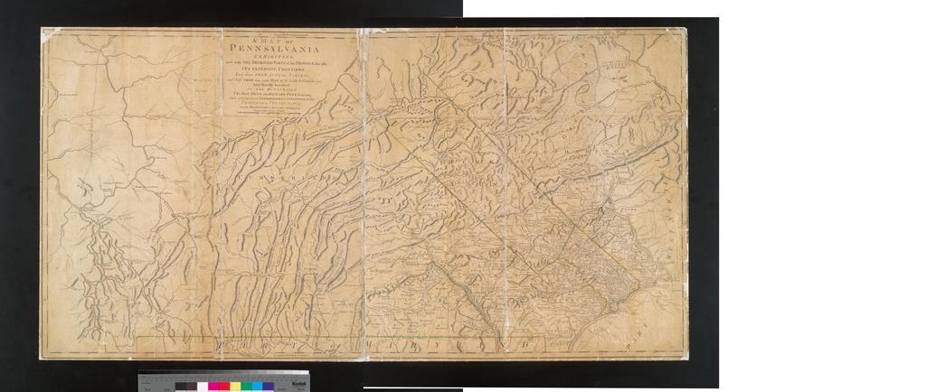
A map of Pennsylvania exhibiting not only the improved parts of that Province but also its extensive frontiers laid down from actual surveys and chiefly from the late map of W. Scull NYPL b. en Longitude west from London Published as the Act directs Appears in Thomas Jefferys' The American atlas National Endowment for the Humanities