
Related Images


Download:
| Tiny | 115x128 | View | Download |
| Small | 230x256 | View | Download |
| Medium | 460x512 | View | Download |
| Large | 920x1024 | View | Download |
| Original | 4872x5419 | View | Download |
This image was acquired from
wikimedia. It was marked as Public Domain or CC0 and is free to use. To verify, go to the source and check the information there.
Looking for more info about this image?
Try a Google Reverse Image Search for it.
Try a Google Reverse Image Search for it.
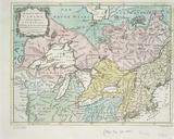
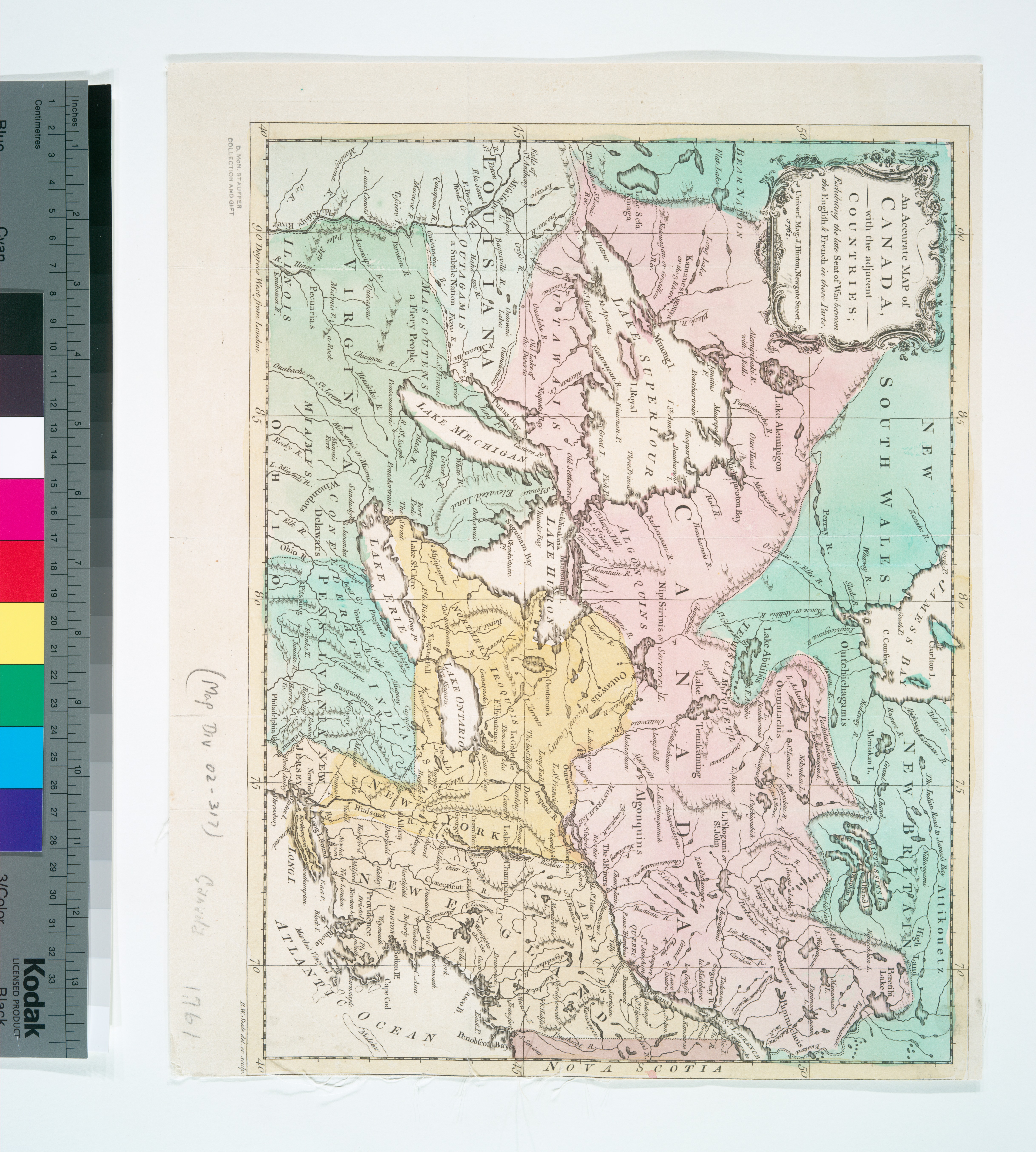
Keywords from Image Description:
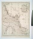
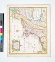
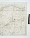
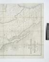
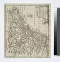
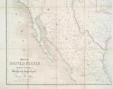
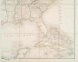
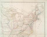
An accurate map of Canada with the adjacent countries exhibiting the late seat of war between the English French in those parts NYPL b. en Also covers New England New York New Jersey parts of Virginia and Pennsylvania McN Stauffer Collection and From Universal magazine of knowledge and pleasure Feb National Endowment for the Humanities