
Related Images


Download:
| Tiny | 97x128 | View | Download |
| Small | 195x256 | View | Download |
| Medium | 391x512 | View | Download |
| Large | 782x1024 | View | Download |
| Original tiff | 3755x4913 | View | Download |
| Original as jpg | 3755x4913 | View | Download |
This image was acquired from
wikimedia. It was marked as Public Domain or CC0 and is free to use. To verify, go to the source and check the information there.
Looking for more info about this image?
Try a Google Reverse Image Search for it.
Try a Google Reverse Image Search for it.
Keywords from Image Description:
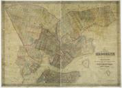
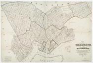
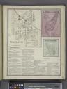
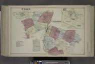
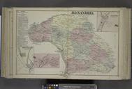
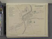
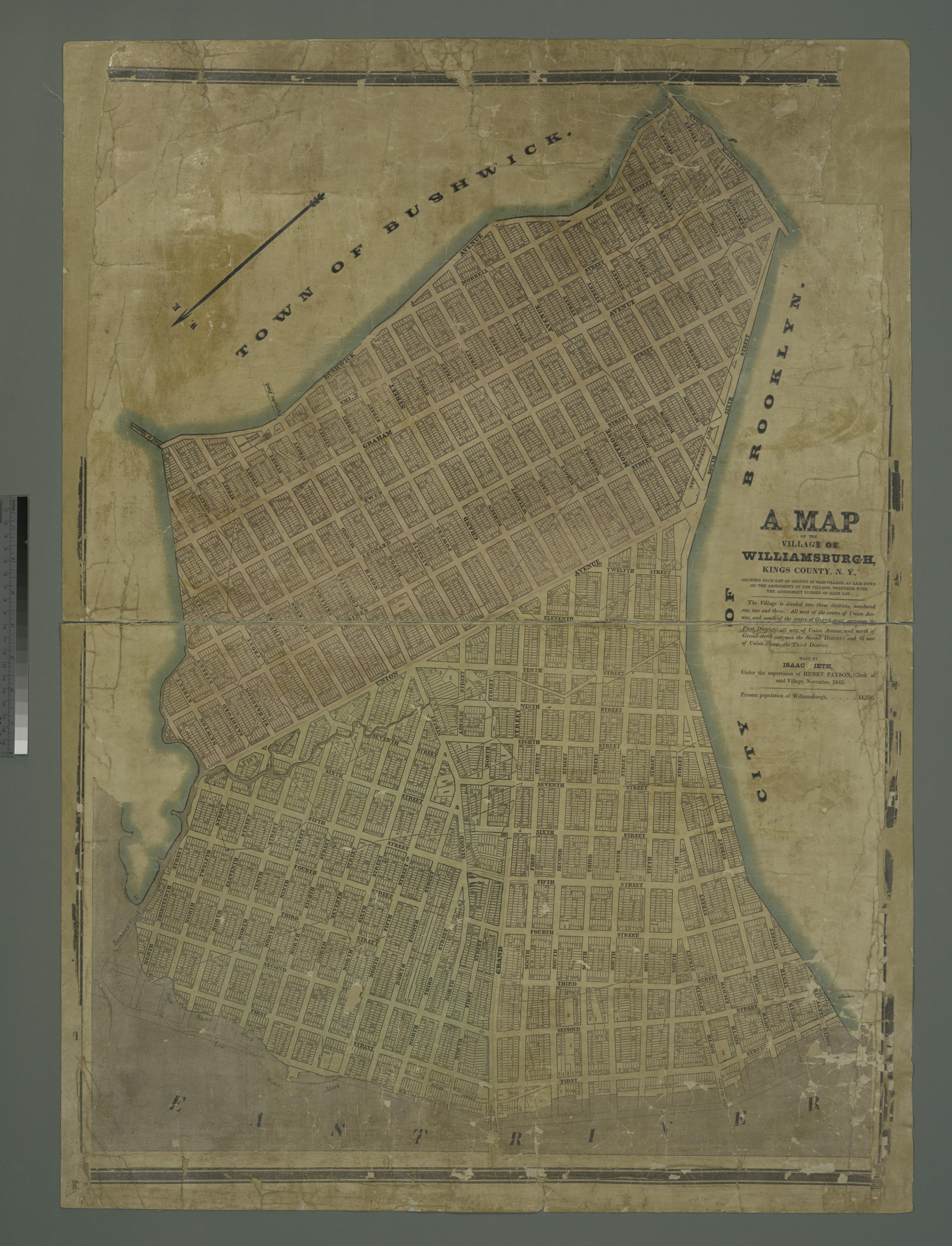
A map of the village of Williamsburgh Kings County N.Y. showing each lot of ground in said village as laid down on the assessment of the village together with the assessment number of each lot NYPL. map hand col cm Maps of New York City and State New York City Brooklyn Stephen Schwarzman Building The Lionel Pincus and Princess