Related Images

Download:
| Tiny | 187x128 | View | Download |
| Small | 375x256 | View | Download |
| Medium | 750x512 | View | Download |
| Large | 1501x1024 | View | Download |
| Original tiff | 8135x5547 | View | Download |
| Original as jpg | 8135x5547 | View | Download |
This image was acquired from
wikimedia. It was marked as Public Domain or CC0 and is free to use. To verify, go to the source and check the information there.
Looking for more info about this image?
Try a Google Reverse Image Search for it.
Try a Google Reverse Image Search for it.
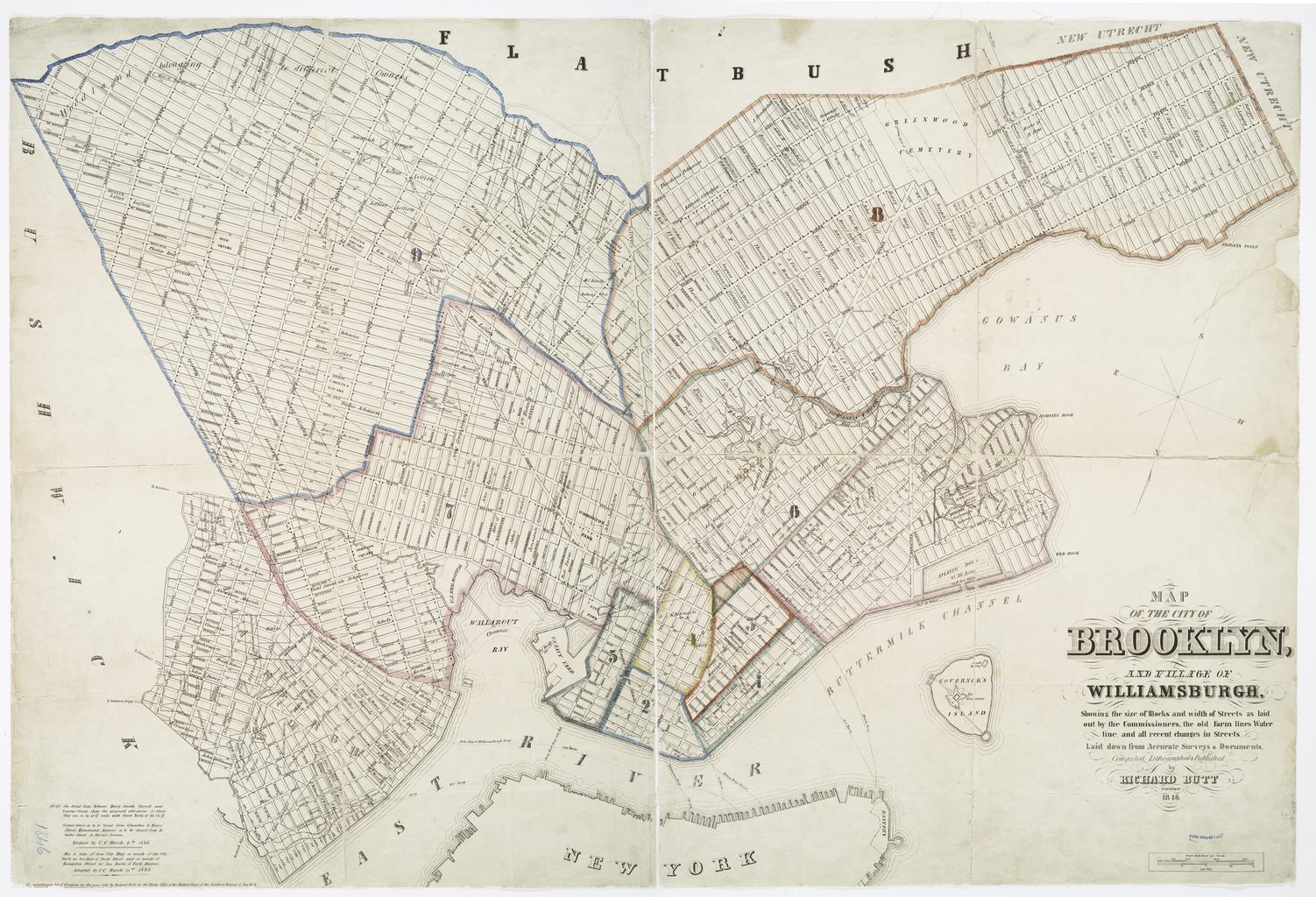
Keywords from Image Description:
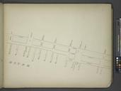
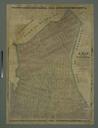
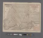
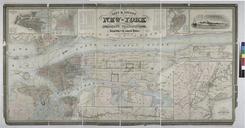
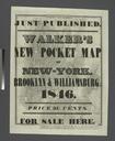
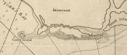
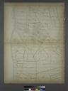
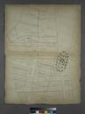
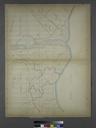
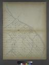
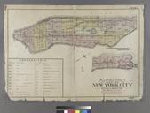
Map of the city of Brooklyn and village of Williamsburg showing the size of blocks and width of streets as laid out by the Commissioners the old farm lines water line and all recent NYPL. Map of the city of Brooklyn and village of Williamsburg showing the size of blocks and width of streets as laid out by the Commissioners the old