Related Images


Download:
| Tiny | 367x128 | View | Download |
| Small | 735x256 | View | Download |
| Medium | 1470x512 | View | Download |
| Large | 2940x1024 | View | Download |
| Original tiff | 13164x4585 | View | Download |
| Original as jpg | 13164x4585 | View | Download |
This image was acquired from
wikimedia. It was marked as Public Domain or CC0 and is free to use. To verify, go to the source and check the information there.
Looking for more info about this image?
Try a Google Reverse Image Search for it.
Try a Google Reverse Image Search for it.
Keywords from Image Description:
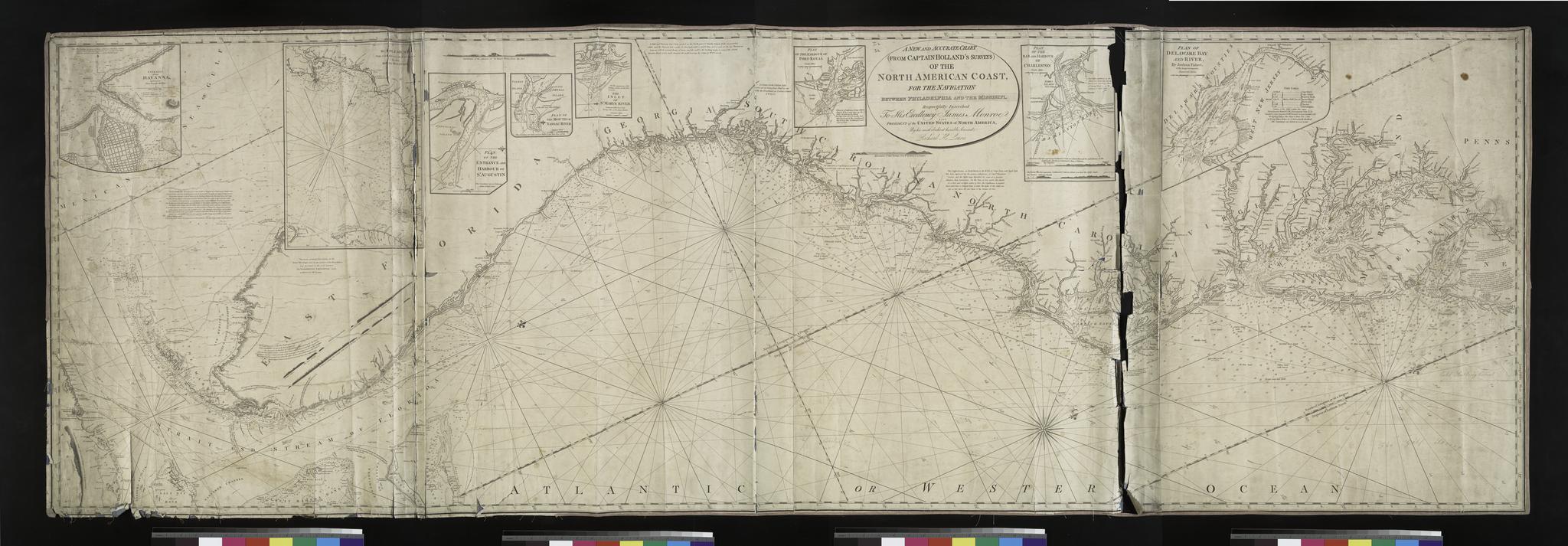
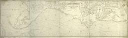
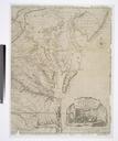
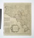
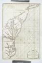
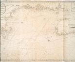
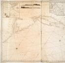
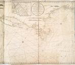
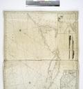
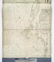
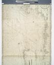
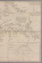
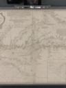
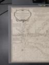
A new and accurate chart from Captain Holland's surveys of the North American Coast for the navigation between Philadelphia and Florida respectfully inscribed to His Excellency Thomas Jefferson NYPL. new and accurate chart from Captain Holland's surveys of the North American Coast for the navigation between Philadelphia and Florida