Related Images


Download:
| Tiny | 432x128 | View | Download |
| Small | 864x256 | View | Download |
| Medium | 1729x512 | View | Download |
| Large | 3459x1024 | View | Download |
| Original | 14418x4268 | View | Download |
This image was acquired from
wikimedia. It was marked as Public Domain or CC0 and is free to use. To verify, go to the source and check the information there.
Looking for more info about this image?
Try a Google Reverse Image Search for it.
Try a Google Reverse Image Search for it.
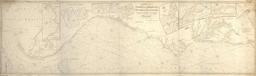
Keywords from Image Description:
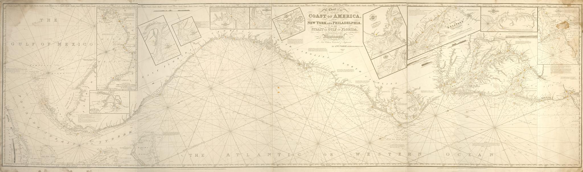
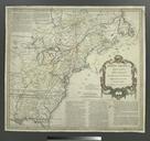
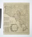
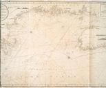
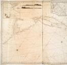
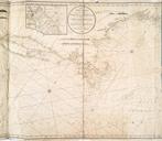
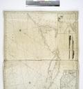
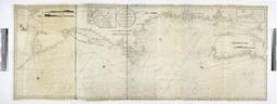
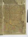
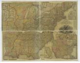
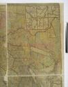
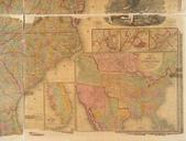
A chart of the coast of America from New York and Philadelphia to the Strait or Gulf of Florida and from thence to the Mississippi NYPL b. en Additions Backed with blue paper and edged with cloth including cloth ties at left side of map Hand col in red and yellow to show lights and lighthouses In lower margin of each of the original