
Related Images


Download:
| Tiny | 170x128 | View | Download |
| Small | 340x256 | View | Download |
| Medium | 681x512 | View | Download |
| Large | 1362x1024 | View | Download |
| Original tiff | 10328x7760 | View | Download |
| Original as jpg | 10328x7760 | View | Download |
This image was acquired from
wikimedia. It was marked as Public Domain or CC0 and is free to use. To verify, go to the source and check the information there.
Looking for more info about this image?
Try a Google Reverse Image Search for it.
Try a Google Reverse Image Search for it.
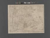
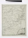
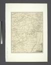
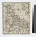
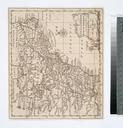
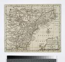
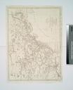
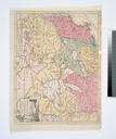
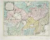
Keywords from Image Description:
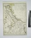
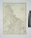
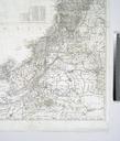
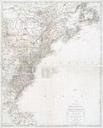
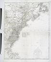
A new and accurate map of the present war in North America NYPL b. en Relief shown pictorially Shows location of Native American nations and colonial borders in the Atlantic Northeast Mapping the Nation NEH grant nypl org Scan by NYPL new and accurate map of the present war in North America History Universal Mag Hinton Newgate