Related Images


Download:
| Tiny | 109x128 | View | Download |
| Small | 218x256 | View | Download |
| Medium | 436x512 | View | Download |
| Large | 872x1024 | View | Download |
| Original tiff | 4824x5659 | View | Download |
| Original as jpg | 4824x5659 | View | Download |
This image was acquired from
wikimedia. It was marked as Public Domain or CC0 and is free to use. To verify, go to the source and check the information there.
Looking for more info about this image?
Try a Google Reverse Image Search for it.
Try a Google Reverse Image Search for it.
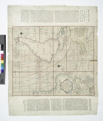
Keywords from Image Description:
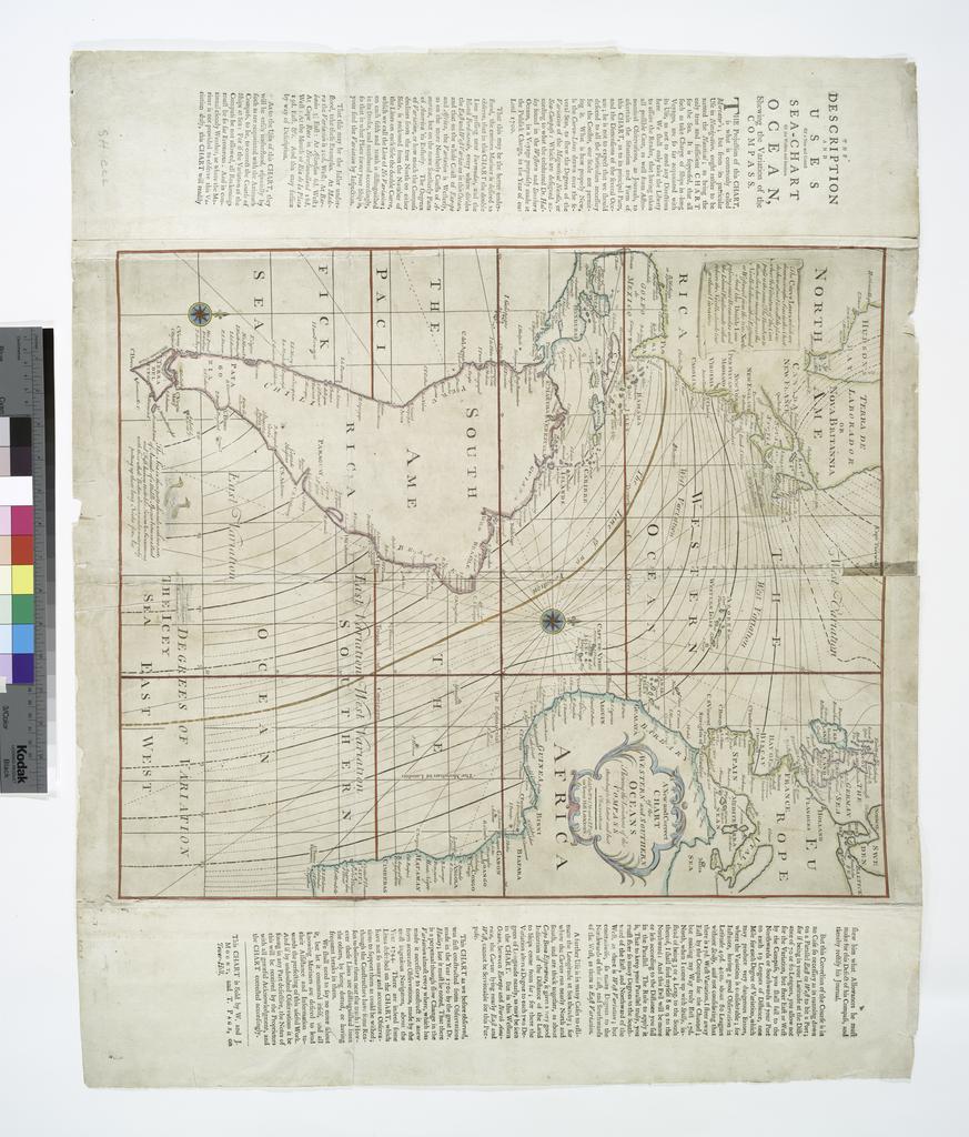
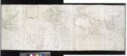
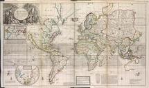
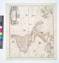
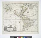
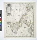
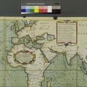
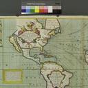
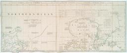
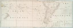
A New and correct chart of the Western and Southern Oceans shewing the variations of the compass according to the latest and best observations. NYPL. map hand col cm nypl org cfm imageID This chart was first constructed from observations made in the year by the great Dr Halley but constructed anew from accurate observations