
Related Images


Download:
| Tiny | 152x128 | View | Download |
| Small | 304x256 | View | Download |
| Medium | 609x512 | View | Download |
| Large | 1218x1024 | View | Download |
| Original tiff | 5931x4984 | View | Download |
| Original as jpg | 5931x4984 | View | Download |
This image was acquired from
wikimedia. It was marked as Public Domain or CC0 and is free to use. To verify, go to the source and check the information there.
Looking for more info about this image?
Try a Google Reverse Image Search for it.
Try a Google Reverse Image Search for it.
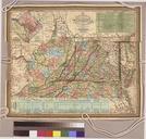
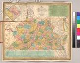
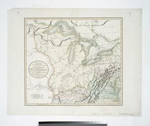
Keywords from Image Description:
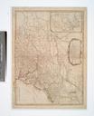
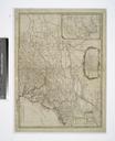
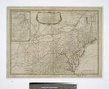
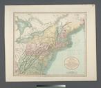
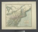
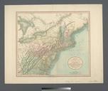
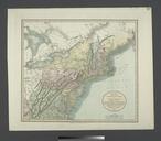
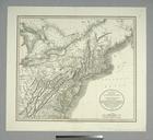
A new map of part of the United States of North America exhibiting the Western Territory Kentucky Pennsylvania Maryland Virginia etc also the Lakes Superior Michigan Huron Ontario Erie NYPL. map hand col cm Maps of North America Countries United States except New York Parts Stephen Schwarzman Building The Lionel Pincus and