Related Images

Download:
| Tiny | 151x128 | View | Download |
| Small | 302x256 | View | Download |
| Medium | 605x512 | View | Download |
| Large | 1211x1024 | View | Download |
| Original | 5140x4343 | View | Download |
This image was acquired from
wikimedia. It was marked as Public Domain or CC0 and is free to use. To verify, go to the source and check the information there.
Looking for more info about this image?
Try a Google Reverse Image Search for it.
Try a Google Reverse Image Search for it.
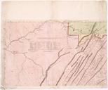
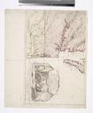
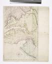
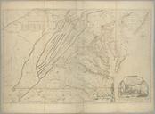
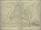
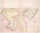
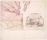
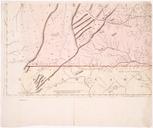
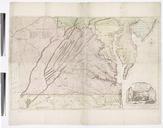
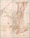
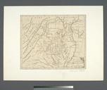
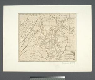
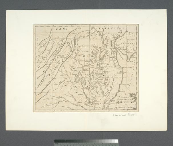
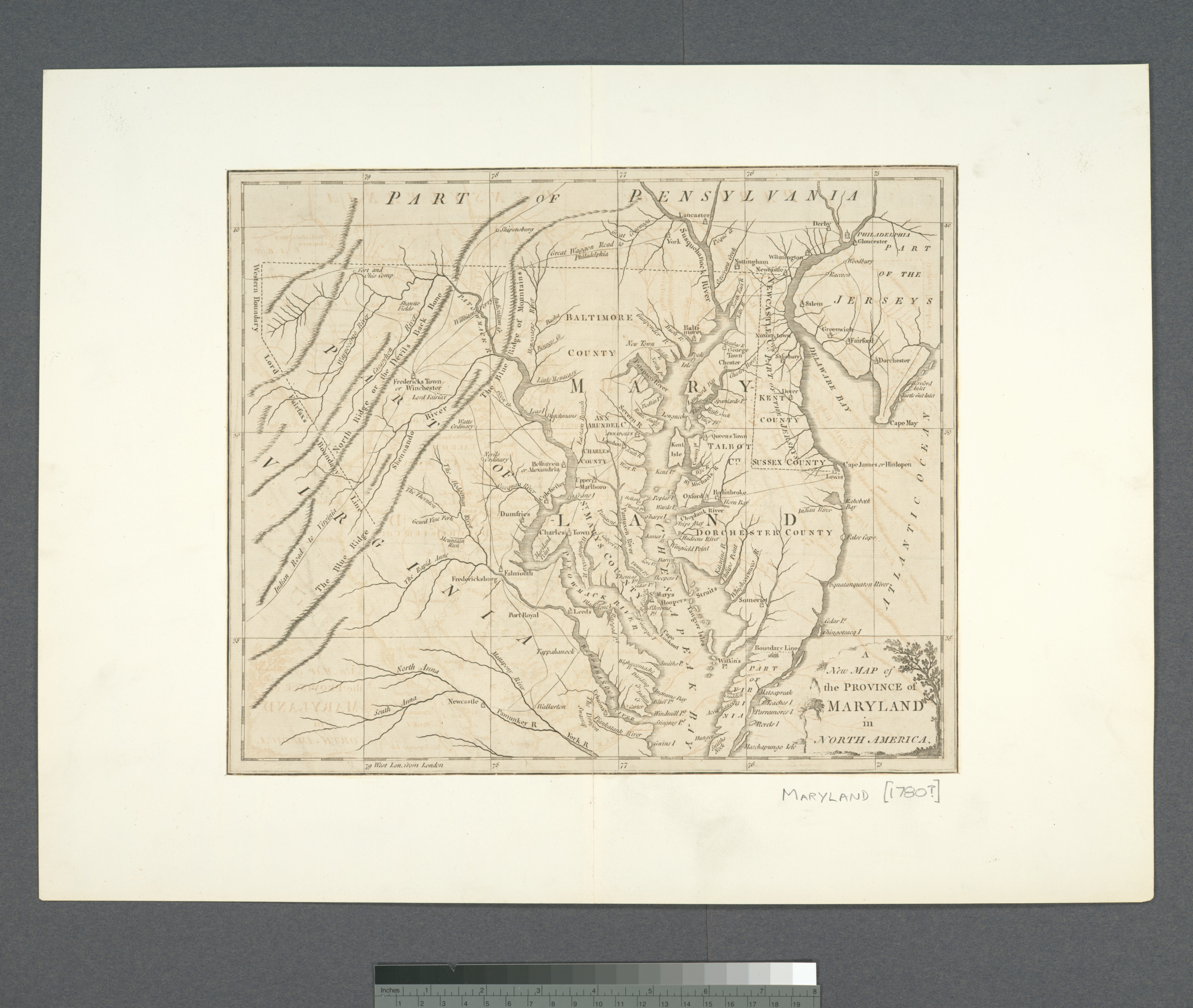
Keywords from Image Description:
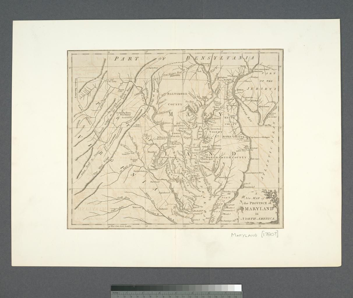
A New map of the province of Maryland in North America NYPL b. en Also covers Delaware and parts of other adjacent states Citation Phillips Maps of America nypl org Scan by NYPL New map of the province of Maryland in North America Hinton bdcbffcccb Maps of North America ddeffcadeeaa repo nypl org Check categories August PDoldauto