
Related Images


Download:
| Tiny | 71x128 | View | Download |
| Small | 142x256 | View | Download |
| Medium | 284x512 | View | Download |
| Large | 569x1024 | View | Download |
| Original | 904x1626 | View | Download |
This image was acquired from
wikimedia. It was marked as Public Domain or CC0 and is free to use. To verify, go to the source and check the information there.
Looking for more info about this image?
Try a Google Reverse Image Search for it.
Try a Google Reverse Image Search for it.
Keywords from Image Description:
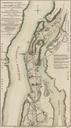
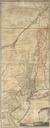
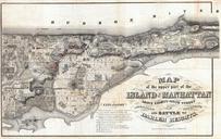
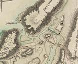
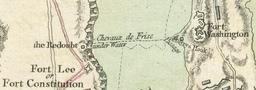
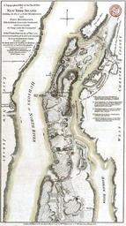
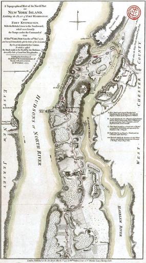
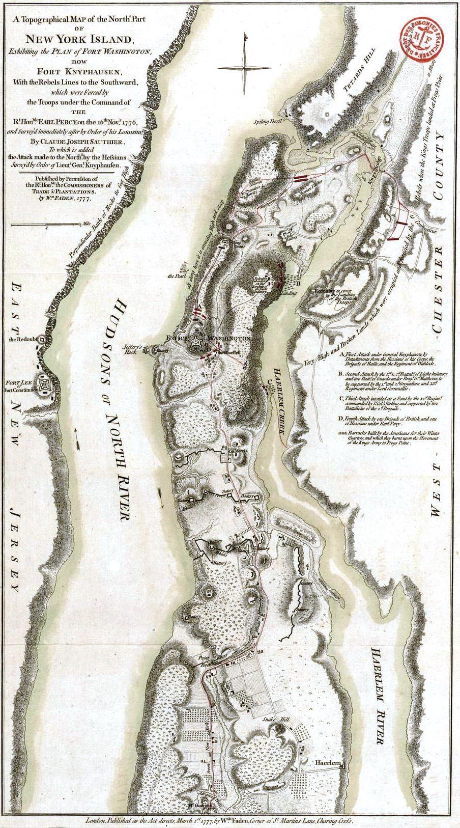
A Topographical map of North. Part of New York Island exhibiting the Plan of Fort Washington now Fort Knyphausen with the Rebels Lines to the Southward. en Topographical map of North Part of New York Island exhibiting the Plan of Fort Washington now Fort Knyphausen with the Rebels Lines to the Southward which were Forced by the Troops