Related Images


Download:
| Tiny | 81x128 | View | Download |
| Small | 163x256 | View | Download |
| Medium | 326x512 | View | Download |
| Large | 653x1024 | View | Download |
| Original png | 954x1494 | View | Download |
| Original as jpg | 954x1494 | View | Download |
This image was acquired from
wikimedia. It was marked as Public Domain or CC0 and is free to use. To verify, go to the source and check the information there.
Looking for more info about this image?
Try a Google Reverse Image Search for it.
Try a Google Reverse Image Search for it.
Keywords from Image Description:
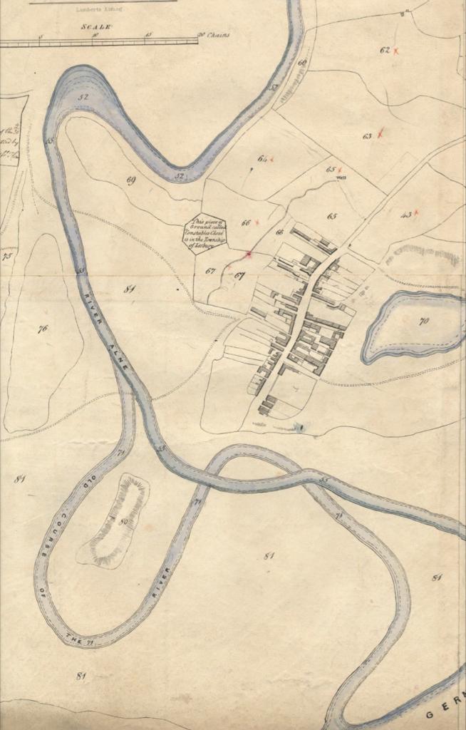
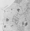
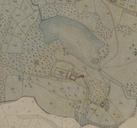
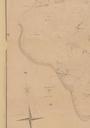
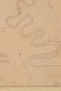
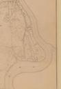
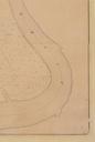
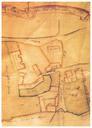
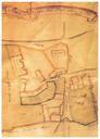
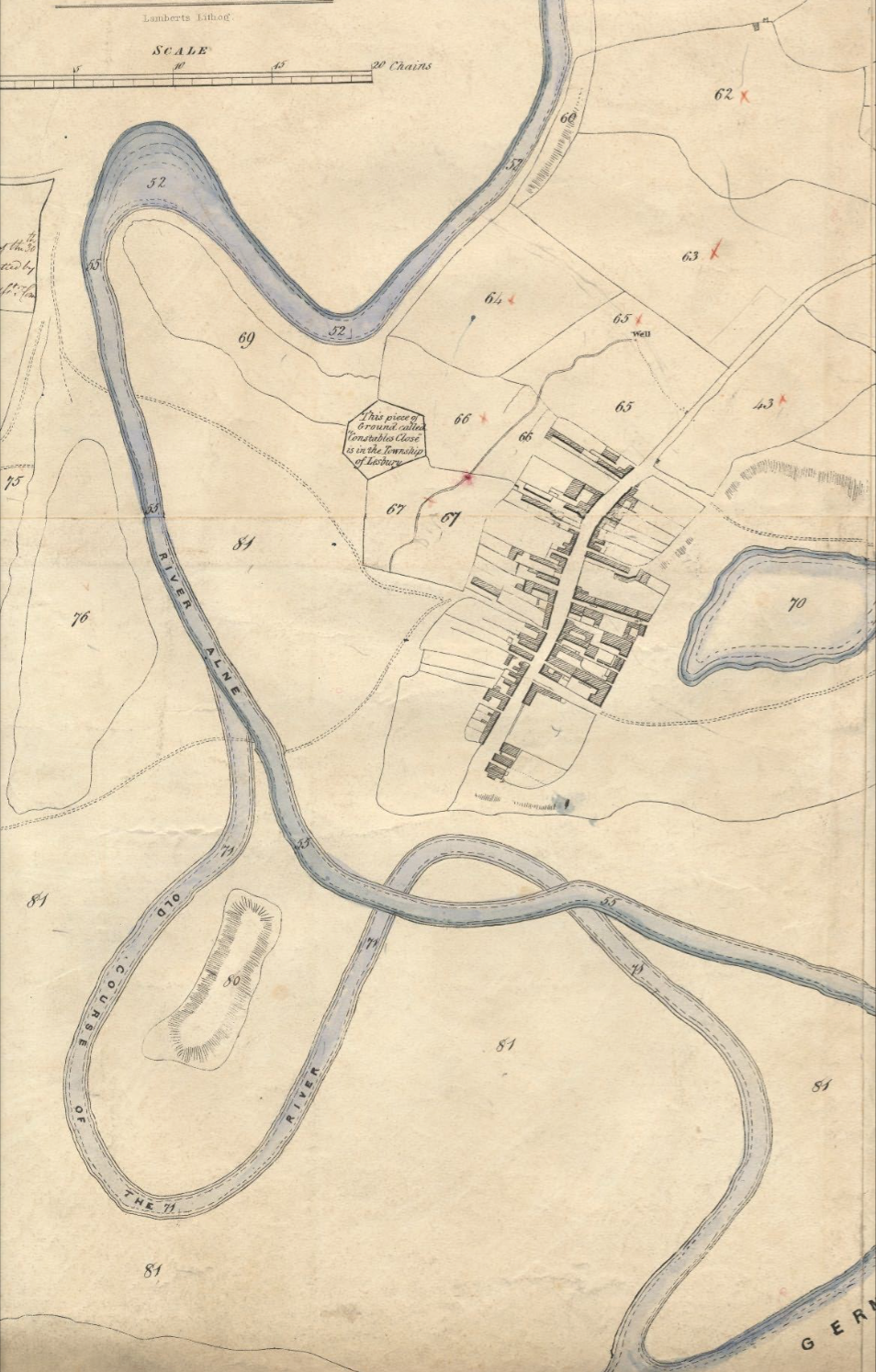
Alnmouth Tithe Map . en Tithe map of Alnmouth Northumberland showing in particular the changed course of the River Aln after storm in knocked out an oxbow meander Historic Environment Survey for the National Trust Properties on the Northumberland Coast Buston Links Alnmouth Prepared for the National Trust July Report No Report