
Related Images


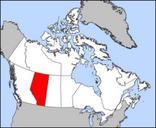
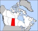

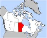

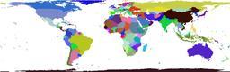
Download:
| Tiny | 123x128 | View | Download |
| Small | 246x256 | View | Download |
| Medium | 493x512 | View | Download |
| Large | 987x1024 | View | Download |
| Original png | 1530x1587 | View | Download |
| Original as jpg | 1530x1587 | View | Download |
This image was acquired from
wikimedia. It was marked as Public Domain or CC0 and is free to use. To verify, go to the source and check the information there.
Looking for more info about this image?
Try a Google Reverse Image Search for it.
Try a Google Reverse Image Search for it.
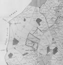
Keywords from Image Description:
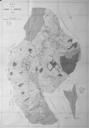
Map of Nork Lambert. en Part of map in Lambert History of Banstead in Surrey based on tithe map of This section shows much of what is presentday Nork The map must be twisted clockwise to point north The width is km org Lambert other versions PDold Uploaded with Map of Surrey Maps showing thcentury history