
Related Images


Download:
| Tiny | 173x128 | View | Download |
| Small | 347x256 | View | Download |
| Medium | 694x512 | View | Download |
| Large | 1389x1024 | View | Download |
| Original tiff | 4276x3152 | View | Download |
| Original as jpg | 4276x3152 | View | Download |
This image was acquired from
wikimedia. It was marked as Public Domain or CC0 and is free to use. To verify, go to the source and check the information there.
Looking for more info about this image?
Try a Google Reverse Image Search for it.
Try a Google Reverse Image Search for it.
Keywords from Image Description:
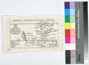
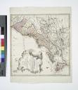
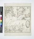
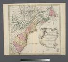
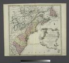
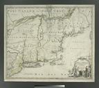
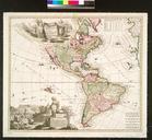
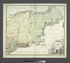
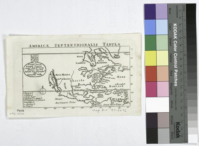
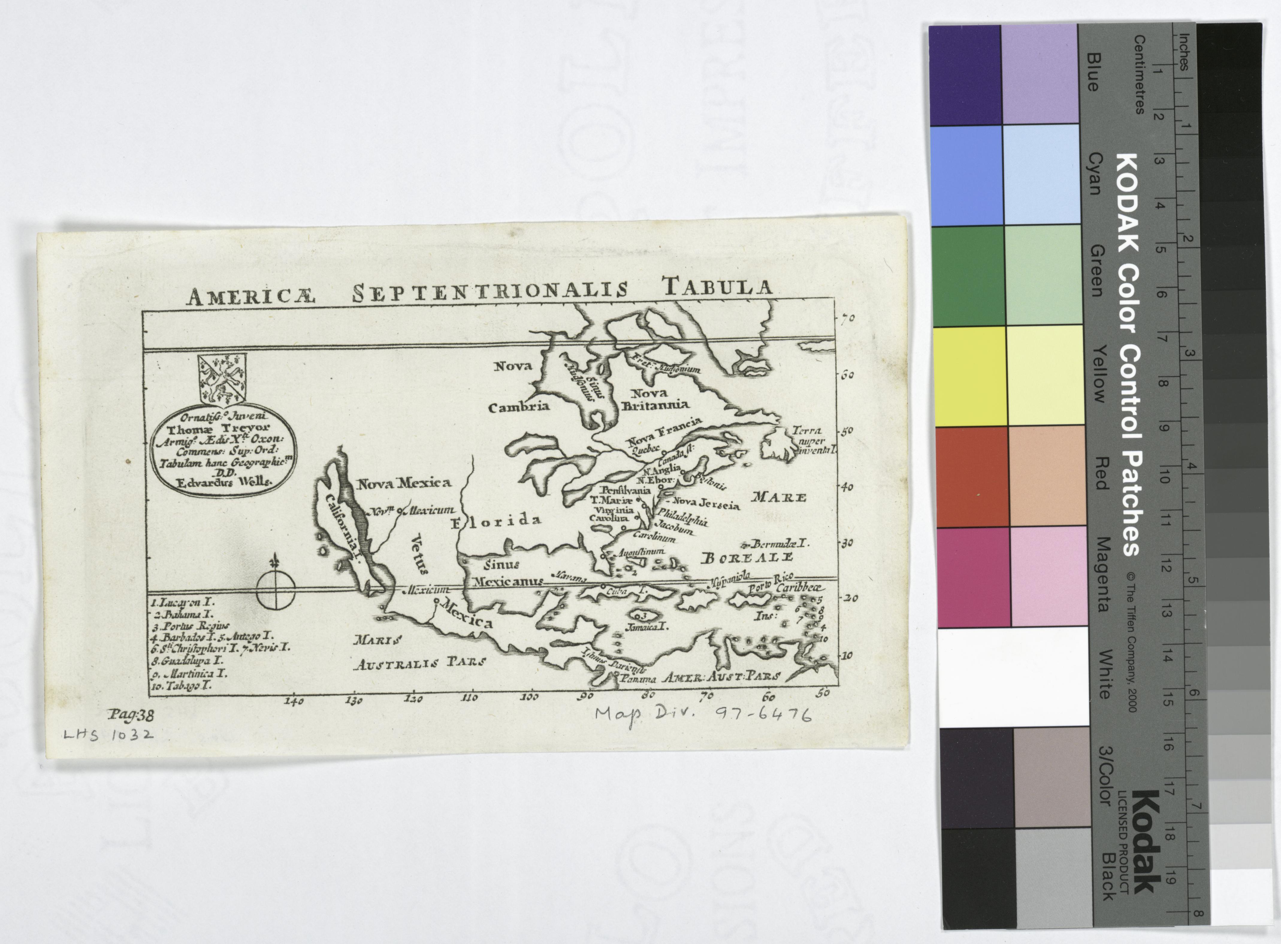
Americae septentrionalis tabula. NYPL. map cm nypl org cfm imageID Appears in Dionysius's Orbis terrae descriptio Note At lower left corner Pag Note California shown as an island Note Includes index and coatofarms Note Lawrence Slaughter Collection Note National Endowment for the Humanities Grant for Access to Early