Related Images


Download:
| Tiny | 88x128 | View | Download |
| Small | 176x256 | View | Download |
| Medium | 352x512 | View | Download |
| Large | 704x1024 | View | Download |
| Original | 1651x2400 | View | Download |
This image was acquired from
wikimedia. It was marked as Public Domain or CC0 and is free to use. To verify, go to the source and check the information there.
Looking for more info about this image?
Try a Google Reverse Image Search for it.
Try a Google Reverse Image Search for it.
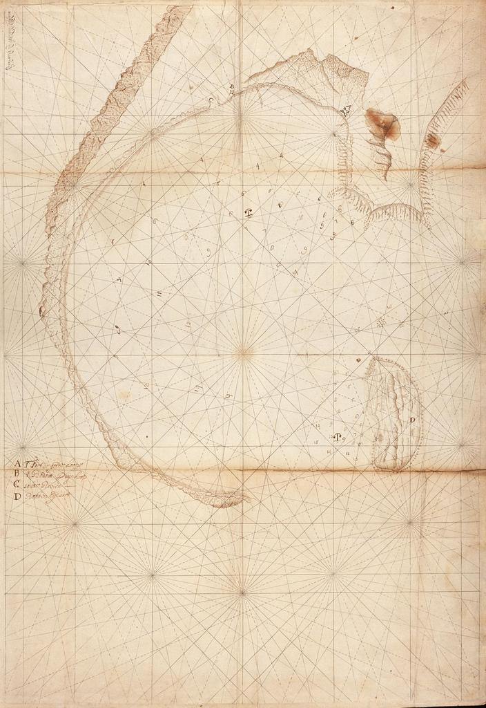
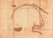
Keywords from Image Description:
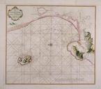
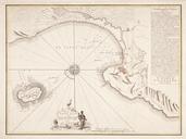
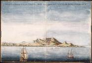
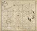
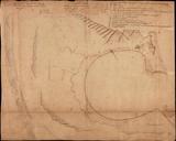
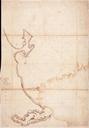
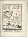
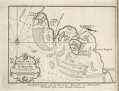
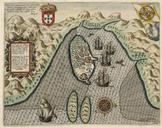
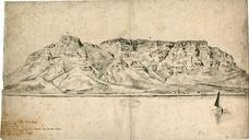
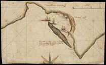
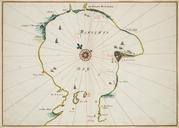
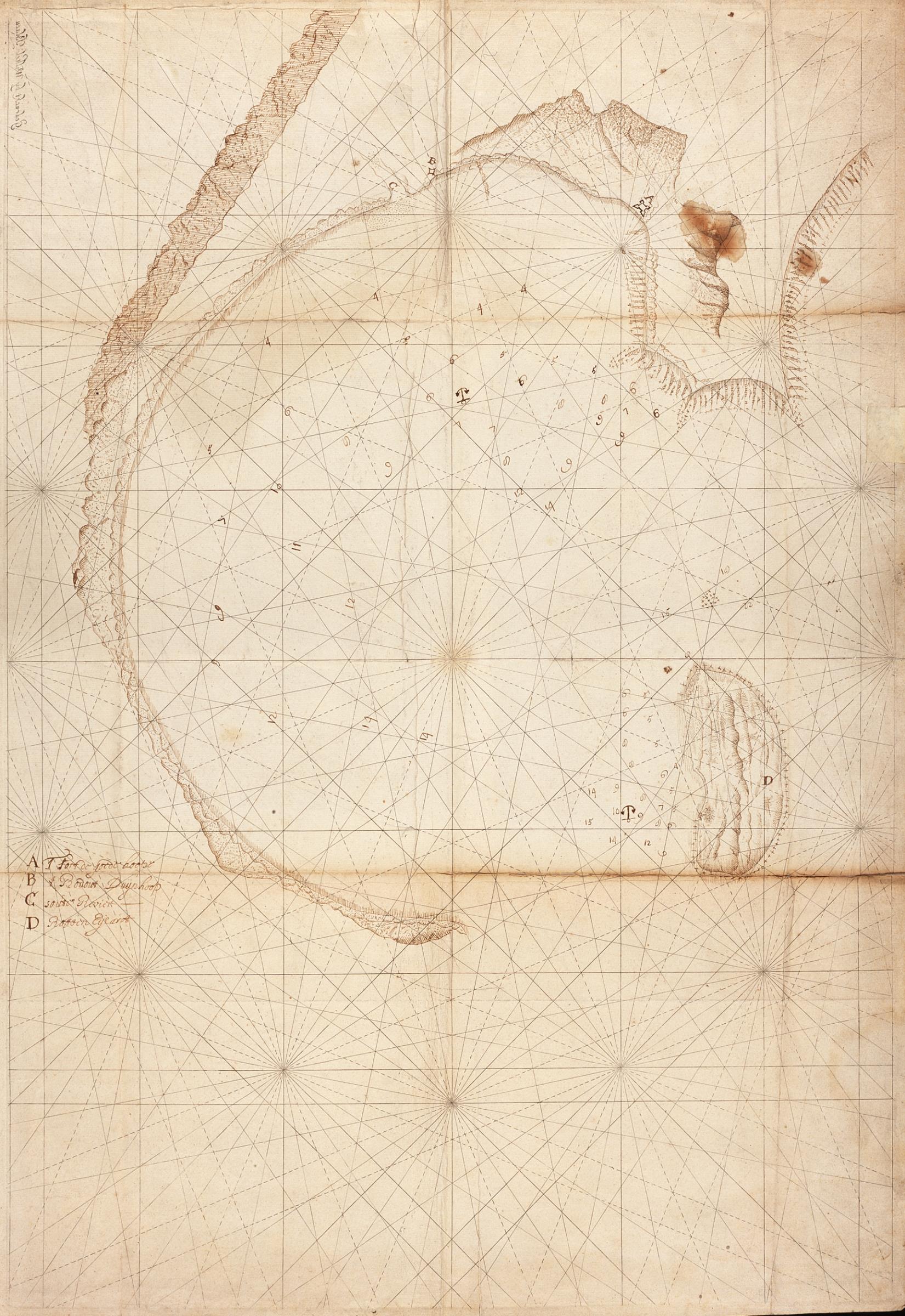
AMHNA Map of Table Bay and Robben Island. Artwork nl Kaart van de Tafelbaai en Robbeneiland nl Titel in catalogus Leupe Nationaal Archief Kaart van de Tafelbay en het Robben Eyland Kompaslijnen gedrukt bij Willem Blaeu dit gedrukte papier werd ook na diens sterven in nog dikwijls gebruikt Notities verso Van de Kaap II deel in