Related Images


Download:
| Tiny | 209x128 | View | Download |
| Small | 418x256 | View | Download |
| Medium | 836x512 | View | Download |
| Large | 1672x1024 | View | Download |
| Original | 2400x1469 | View | Download |
This image was acquired from
wikimedia. It was marked as Public Domain or CC0 and is free to use. To verify, go to the source and check the information there.
Looking for more info about this image?
Try a Google Reverse Image Search for it.
Try a Google Reverse Image Search for it.
Keywords from Image Description:
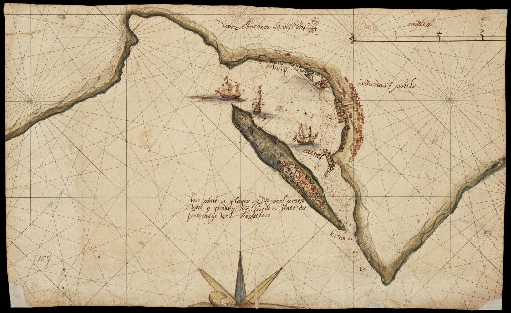
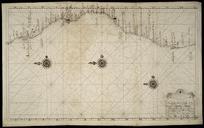
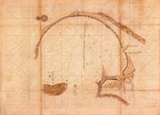
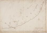
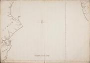
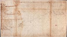
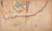
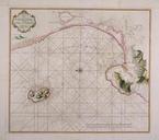
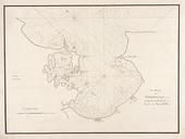
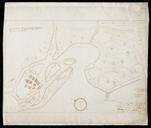
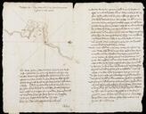
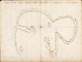
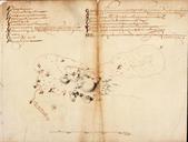
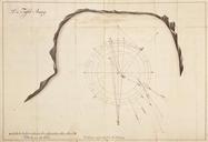
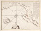
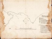
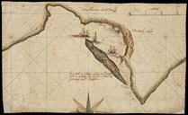
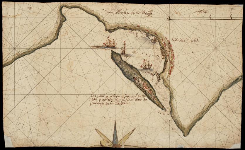
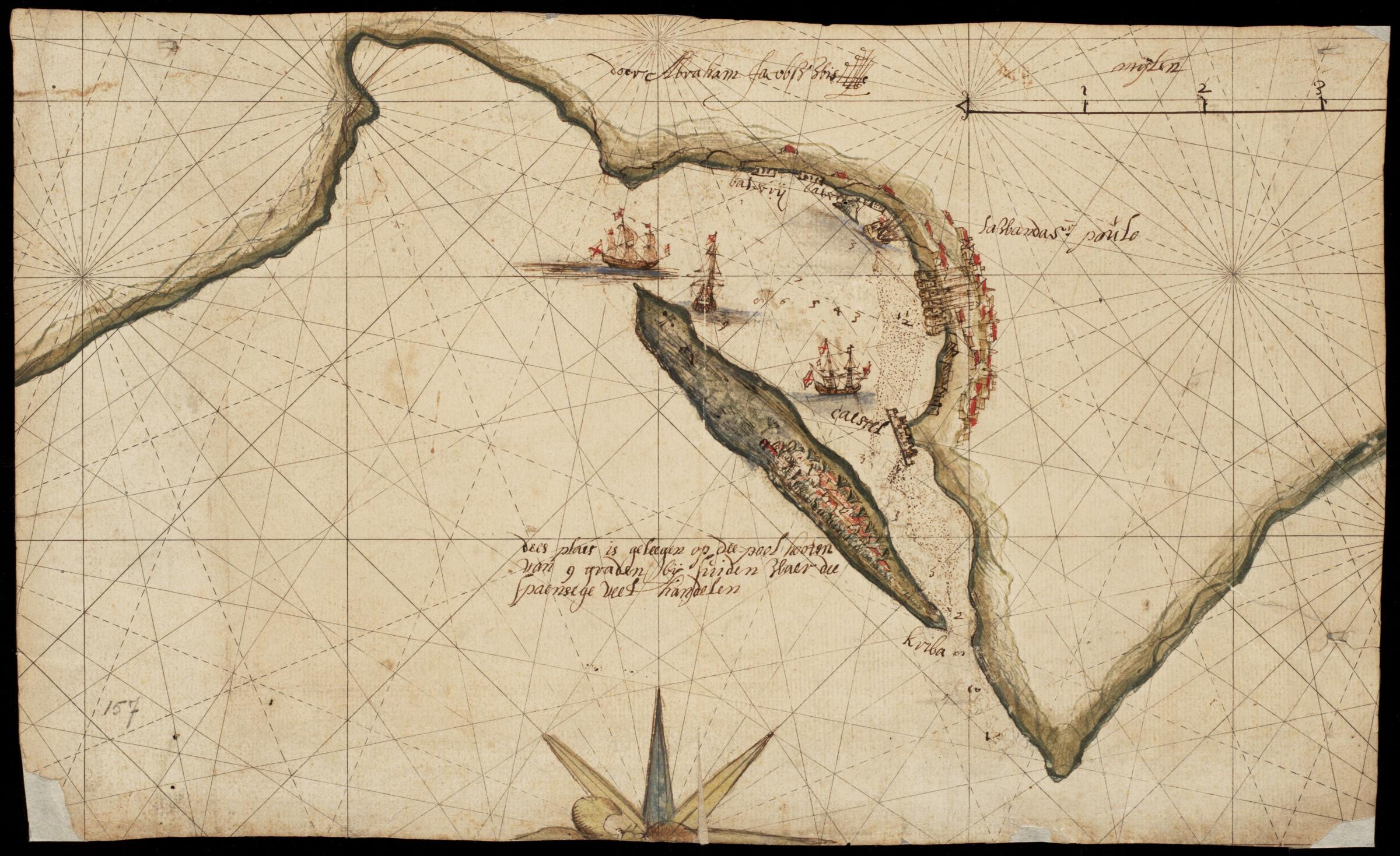
AMHNA Map of the bay of Luanda. Artwork nl Kaart van de baai van Luanda nl Kaart van de baai van Luanda Titel catalogus Leupe NA Teekening van de baai La Wanda St Poulo Loanda de St Paulo met het daarvoor liggende eiland dees plaes is geleegen op de pool hoogten van graden bij suiden waer de Spaensege veel handelen Linksonder