
Related Images


Download:
| Tiny | 221x128 | View | Download |
| Small | 443x256 | View | Download |
| Medium | 887x512 | View | Download |
| Large | 1775x1024 | View | Download |
| Original | 2400x1384 | View | Download |
This image was acquired from
wikimedia. It was marked as Public Domain or CC0 and is free to use. To verify, go to the source and check the information there.
Looking for more info about this image?
Try a Google Reverse Image Search for it.
Try a Google Reverse Image Search for it.
Keywords from Image Description:
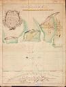
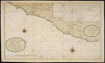
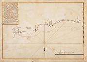
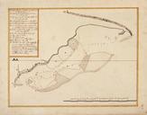
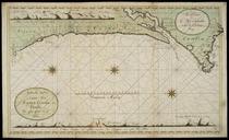
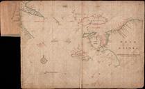
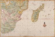
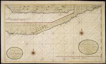
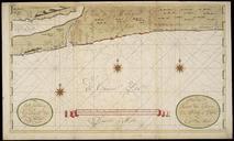
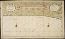
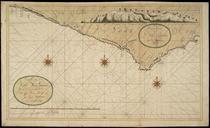
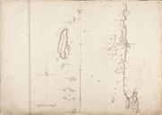
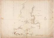
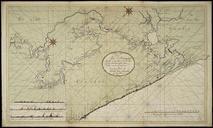
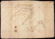
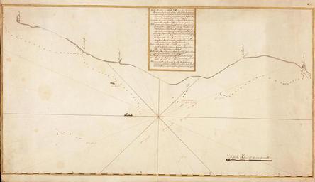
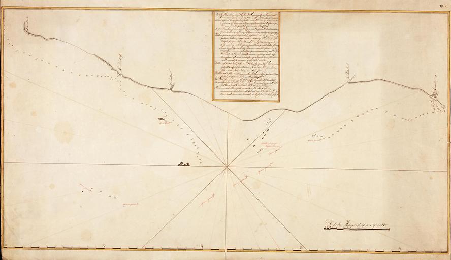
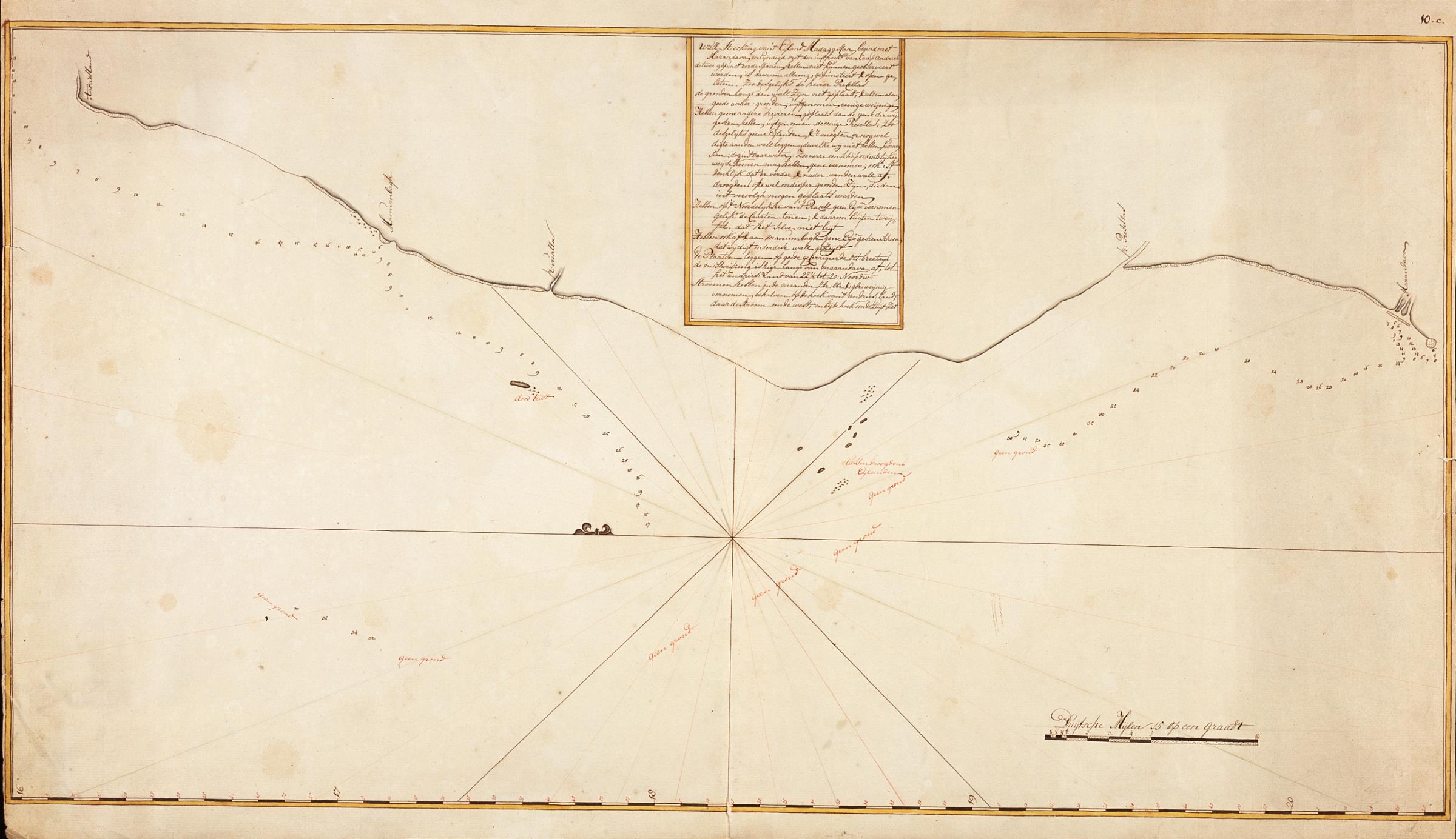
AMHNA Map of Marandava to Cape Andries on the west coast of Madagascar. Artwork nl Kaart van Marandava tot Caap Andries aan de westkust van Madagascar nl Titel in catalogus Leupe Nationaal Archief Kaart van de walstrecking van 't Eyland madagascar begind met Marandava en eyndigd met den uythoek van Caap Andries enz Rechtsboven genummerd