Related Images


Download:
| Tiny | 77x128 | View | Download |
| Small | 155x256 | View | Download |
| Medium | 311x512 | View | Download |
| Large | 622x1024 | View | Download |
| Original | 1459x2400 | View | Download |
This image was acquired from
wikimedia. It was marked as Public Domain or CC0 and is free to use. To verify, go to the source and check the information there.
Looking for more info about this image?
Try a Google Reverse Image Search for it.
Try a Google Reverse Image Search for it.
Keywords from Image Description:
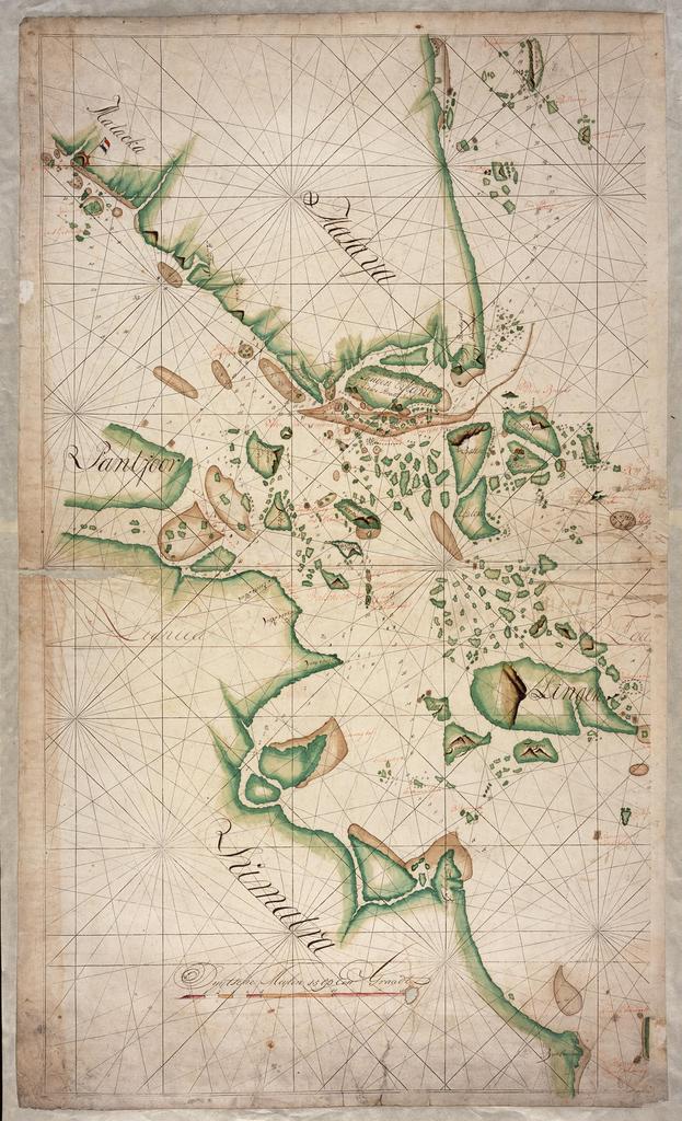
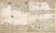
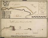
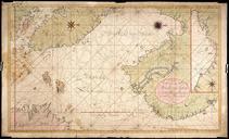
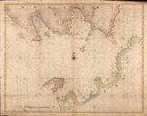
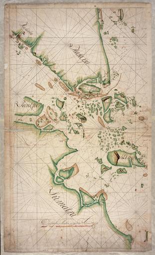
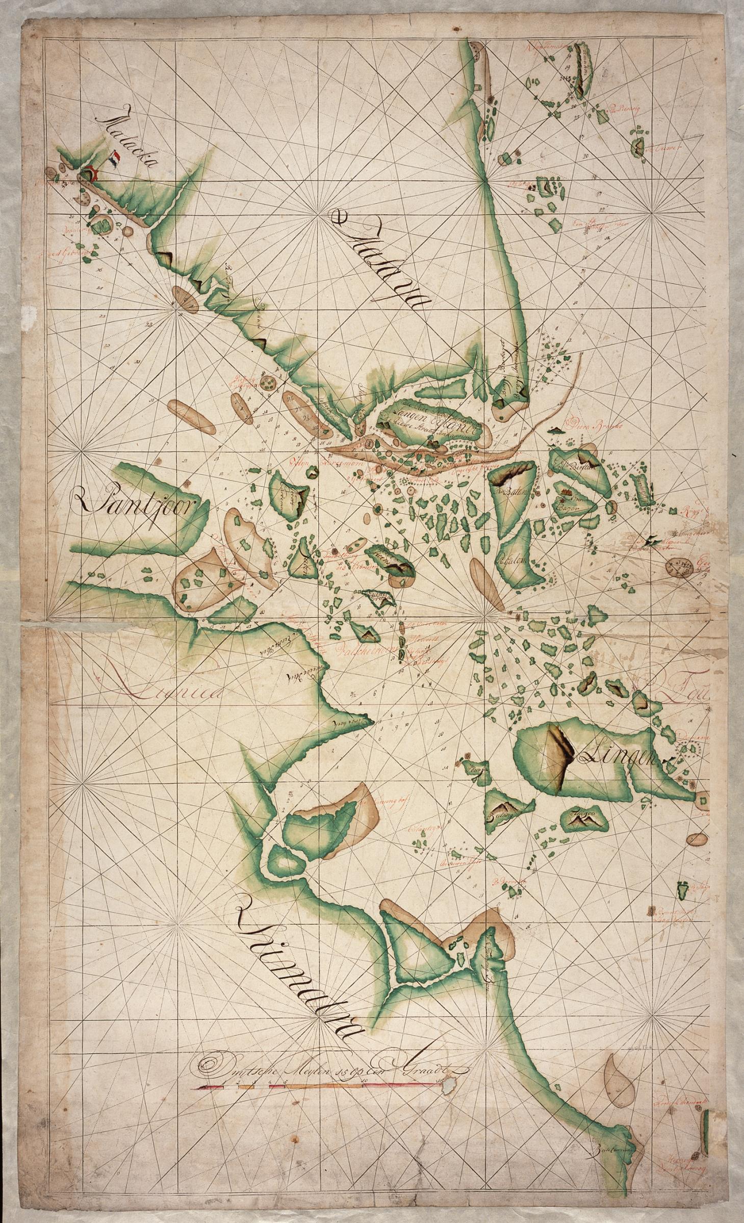
AMHNA Map of Sumatra and the Malacca Straits. Artwork nl Kaart van Sumatra en de Straat van Malakka nl Titel catalogus Leupe NA Kaart van een gedeelte van Straat Malacka de Lingagroep en van de Kust van Sumatra van Straat Camper tot Batoe Carang en het Frederik Hendriks rif enz Bijzonderheden de kaart is tijdens een restauratie op