
Related Images


Download:
| Tiny | 161x128 | View | Download |
| Small | 323x256 | View | Download |
| Medium | 646x512 | View | Download |
| Large | 1292x1024 | View | Download |
| Original | 2400x1902 | View | Download |
This image was acquired from
wikimedia. It was marked as Public Domain or CC0 and is free to use. To verify, go to the source and check the information there.
Looking for more info about this image?
Try a Google Reverse Image Search for it.
Try a Google Reverse Image Search for it.
Keywords from Image Description:
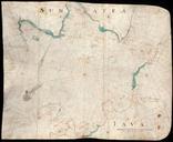
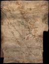
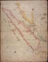
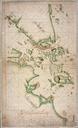
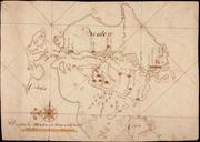
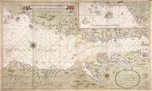
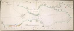
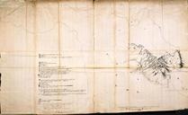
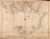
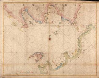
AMHNA Map of the Soenda Straits. Artwork nl Kaart van de Straat Soenda nl Titel catalogus Leupe NA Kaart als voren hiermee wordt bedoeld de titel van VEL Kaart van Straat Soenda van het PrincenEyland tot den Hoek van Bantam De baai hier aangeduid met 'Keysers Bocht' werd ook wel de 'Bocht Samanca' genoemd en Title in the Leupe catalogue