Related Images


Download:
| Tiny | 168x128 | View | Download |
| Small | 336x256 | View | Download |
| Medium | 672x512 | View | Download |
| Large | 1344x1024 | View | Download |
| Original | 2400x1828 | View | Download |
This image was acquired from
wikimedia. It was marked as Public Domain or CC0 and is free to use. To verify, go to the source and check the information there.
Looking for more info about this image?
Try a Google Reverse Image Search for it.
Try a Google Reverse Image Search for it.
Keywords from Image Description:
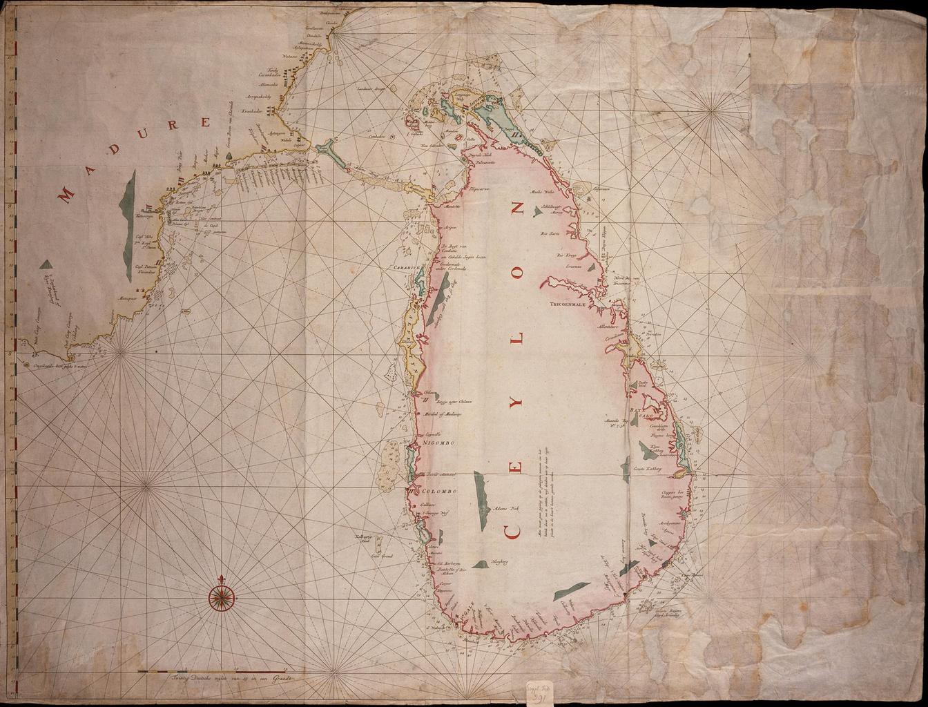
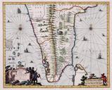
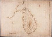
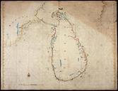
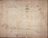
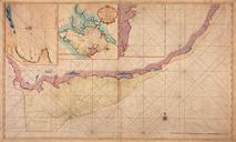
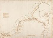
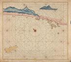
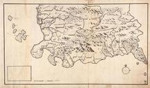
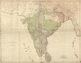
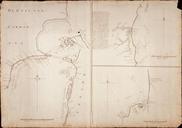
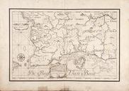
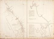
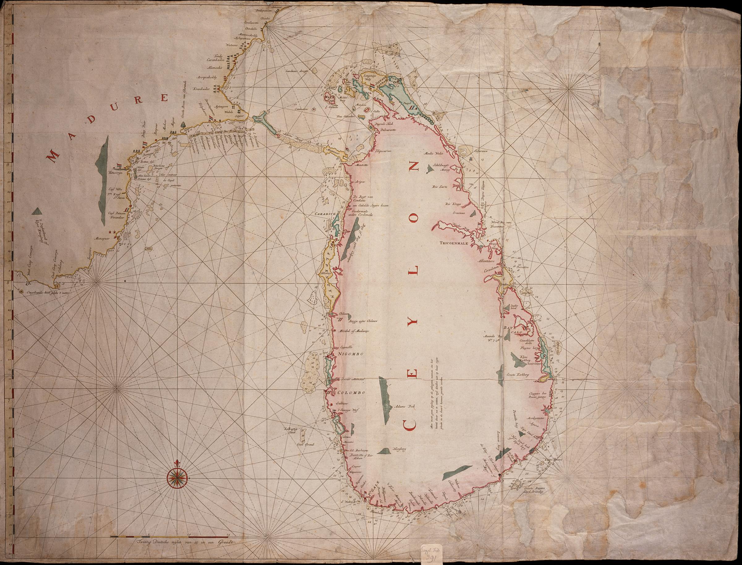
AMHNA Map of the southern point of Ceylon and the Adams bridge. Artwork nl Kaart van de zuidelijke punt van Ceilon en de Adamsbrug nl Titel catalogus Leupe NA Kaart van de zuidelijke punt van VoorIndi met Ceilon en de Adamsbrug Bijzonderheden op de kaart bevindt zich een etiket met de tekst Suppl Ind De kaart is op blauw papier