
Related Images

Download:
| Tiny | 213x128 | View | Download |
| Small | 426x256 | View | Download |
| Medium | 853x512 | View | Download |
| Large | 1706x1024 | View | Download |
| Original | 2400x1440 | View | Download |
This image was acquired from
wikimedia. It was marked as Public Domain or CC0 and is free to use. To verify, go to the source and check the information there.
Looking for more info about this image?
Try a Google Reverse Image Search for it.
Try a Google Reverse Image Search for it.
Keywords from Image Description:
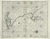
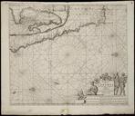
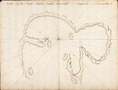
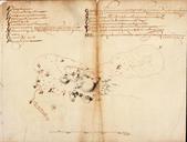
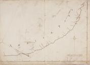
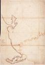
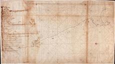
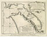
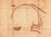
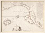
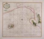
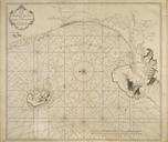
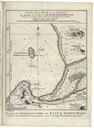
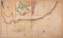
AMHNA Map of the southern coast of Africa from Saldanha Bay to the Bay of Natal. Artwork nl Kaart van de zuidkust van Afrika van de Saldanhabaay tot Baai Natal nl Titel catalogus Leupe NA Kaart van de Zuidkust van Afrika van de Saldanhabaay tot Baay Natal enz De kaart is op blauw papier geplakt Notities verso XXVII Met inzetkaarten