Related Images
Download:
| Tiny | 200x128 | View | Download |
| Small | 401x256 | View | Download |
| Medium | 803x512 | View | Download |
| Large | 1607x1024 | View | Download |
| Original | 2400x1529 | View | Download |
This image was acquired from
wikimedia. It was marked as Public Domain or CC0 and is free to use. To verify, go to the source and check the information there.
Looking for more info about this image?
Try a Google Reverse Image Search for it.
Try a Google Reverse Image Search for it.
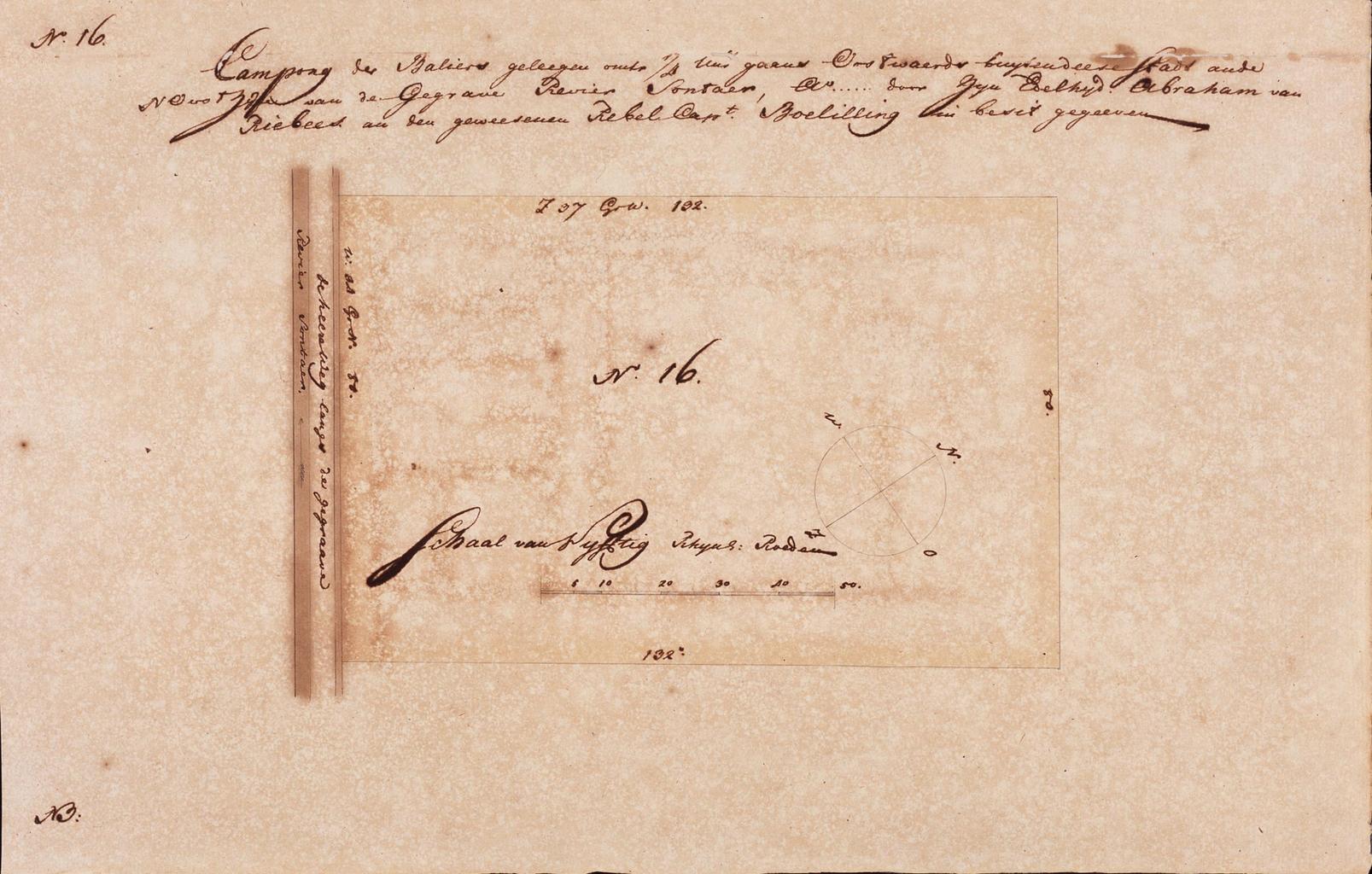
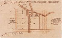
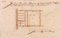
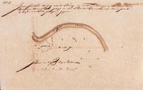
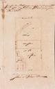
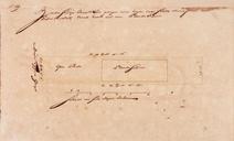
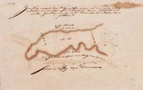
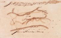
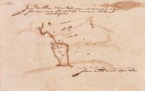
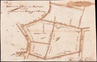
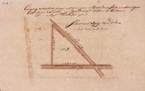
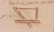
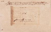
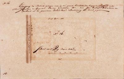
Keywords from Image Description:
AMHNA Map of farmlands in the Batavia area part sixteen. Artwork nl Kaart van landerijen in de omgeving van Batavia deel zestien nl Titel catalogus Leupe NA Campong der Baliers geleegen omtrent uur gaans oostwaerds buijten desse stadt an de noordoostzijde van de gegrave revier Sontaer door Abraham van Riebeek an den geweesenen rebel