
Related Images
Download:
| Tiny | 211x128 | View | Download |
| Small | 422x256 | View | Download |
| Medium | 845x512 | View | Download |
| Large | 1691x1024 | View | Download |
| Original | 2400x1453 | View | Download |
This image was acquired from
wikimedia. It was marked as Public Domain or CC0 and is free to use. To verify, go to the source and check the information there.
Looking for more info about this image?
Try a Google Reverse Image Search for it.
Try a Google Reverse Image Search for it.
Keywords from Image Description:
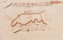
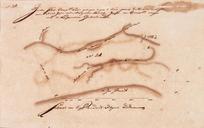
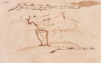
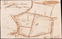
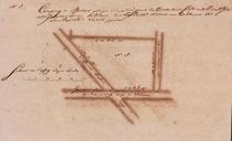
AMHNA Map of farmlands in the Batavia area part nineteen. Artwork nl Kaart van landerijen in de omgeving van Batavia deel negentien nl Titel catalogus Leupe NA Zeeker stukje Compagnie's land geleegen eeven buijten deese stadts nieuw poort in de zuijder voorstadt thans beset met eene planke school Het kaartje maakt deel uit van een