
Related Images
Download:
| Tiny | 254x128 | View | Download |
| Small | 508x256 | View | Download |
| Medium | 1017x512 | View | Download |
| Large | 2034x1024 | View | Download |
| Original | 2400x1208 | View | Download |
This image was acquired from
wikimedia. It was marked as Public Domain or CC0 and is free to use. To verify, go to the source and check the information there.
Looking for more info about this image?
Try a Google Reverse Image Search for it.
Try a Google Reverse Image Search for it.
Keywords from Image Description:
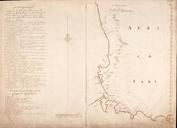
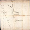
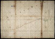
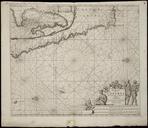
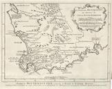
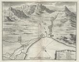
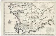
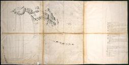
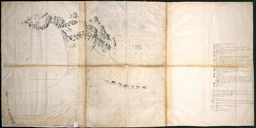
AMHNA Map of the mountains on the Cape of Good Hope. Artwork nl Kaart van gebergte bij Kaap de Goede Hoop nl Titel catalogus Leupe NA Kaart als voren hiermee wordt bedoeld de titel van VEL Kaart van het Fort de Goede Hoop en de daaromheen gelegen landen tusschen de Tafelbaai en Baai Fals Kompaslijnen gedrukt bij Willem Blaeu dit