
Related Images


Download:
| Tiny | 197x128 | View | Download |
| Small | 395x256 | View | Download |
| Medium | 791x512 | View | Download |
| Large | 1583x1024 | View | Download |
| Original | 2400x1552 | View | Download |
This image was acquired from
wikimedia. It was marked as Public Domain or CC0 and is free to use. To verify, go to the source and check the information there.
Looking for more info about this image?
Try a Google Reverse Image Search for it.
Try a Google Reverse Image Search for it.
Keywords from Image Description:
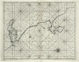
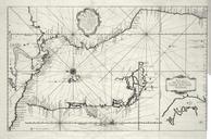
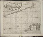
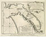
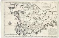
AMHKB Map of the South African coast from the bay of St. Helena to Mossel Bay. Artwork nl Kaart van de ZuidAfrikaanse kust van St Helenabaai tot Mosselbaai nl Kaart van de ZuidAfrikaanse kust van St Helenabaai tot Mosselbaai Map of the Country of the Hottentots towards the Cape of Good Hope Linksonder No Rechtsonder is de plaatnummering