Related Images


Download:
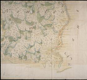
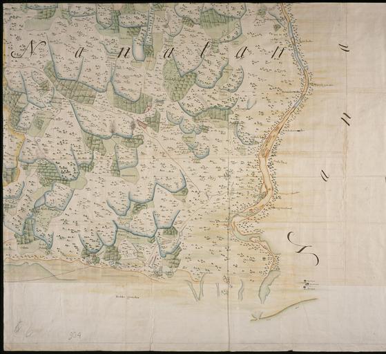
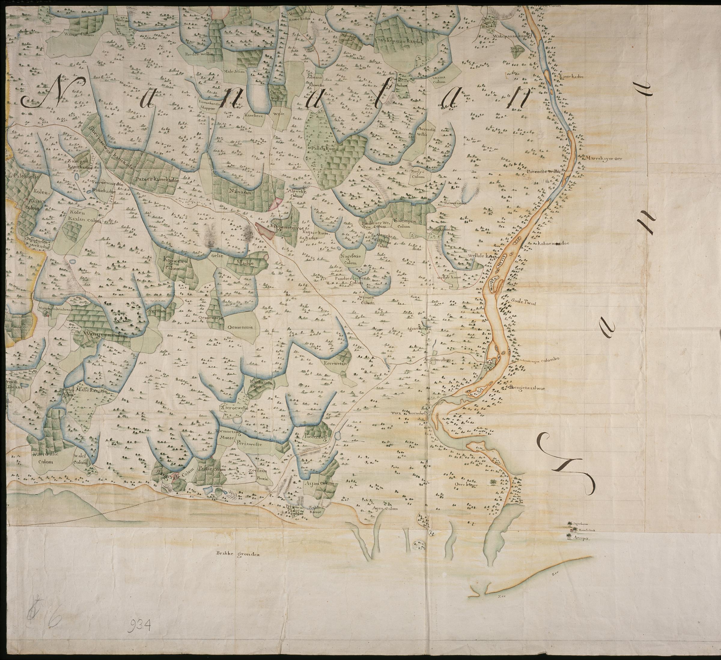
| Tiny | 139x128 | View | Download |
| Small | 279x256 | View | Download |
| Medium | 559x512 | View | Download |
| Large | 1118x1024 | View | Download |
| Original | 2400x2197 | View | Download |
This image was acquired from
wikimedia. It was marked as Public Domain or CC0 and is free to use. To verify, go to the source and check the information there.
Looking for more info about this image?
Try a Google Reverse Image Search for it.
Try a Google Reverse Image Search for it.
Keywords from Image Description:
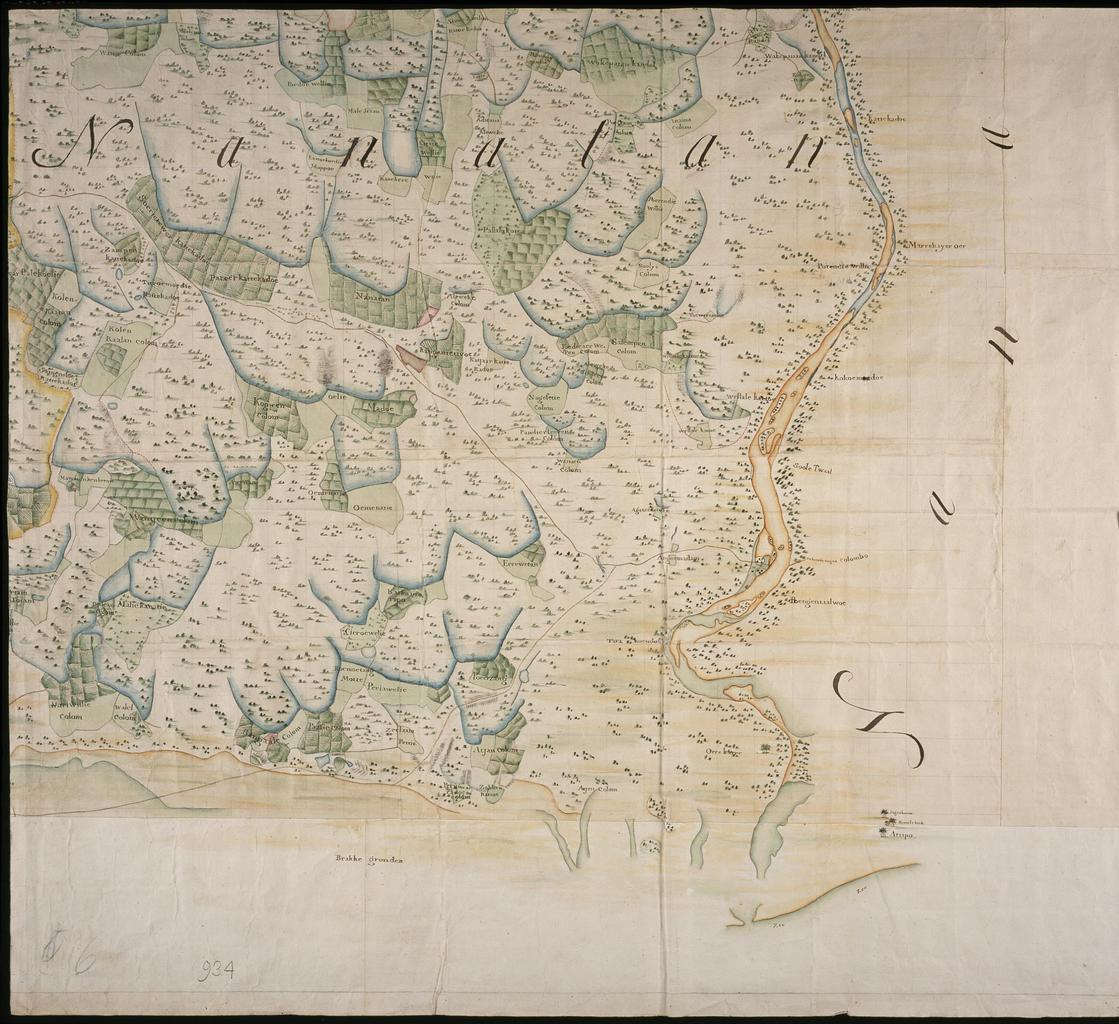
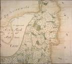
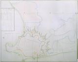
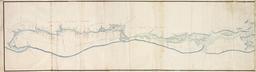
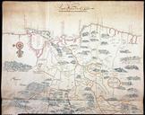
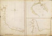
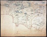
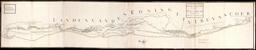
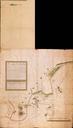
AMHNA Map of the part of Mantotte and Nanaton on Ceylon part C. Artwork nl Kaart van het gedeelte van Mantotte en Nanatan te Ceylon deel nl Titel catalogus Leupe NA Kaart van het gedeelte van Mantotte en Nanatan dat uyt de Reuse tank bewaterd kunnen werden De kaart is in stukken gesneden dit is stuk De schaal voor de gehele kaart