Related Images


Download:
| Tiny | 182x128 | View | Download |
| Small | 365x256 | View | Download |
| Medium | 730x512 | View | Download |
| Large | 1460x1024 | View | Download |
| Original | 2400x1683 | View | Download |
This image was acquired from
wikimedia. It was marked as Public Domain or CC0 and is free to use. To verify, go to the source and check the information there.
Looking for more info about this image?
Try a Google Reverse Image Search for it.
Try a Google Reverse Image Search for it.
Keywords from Image Description:
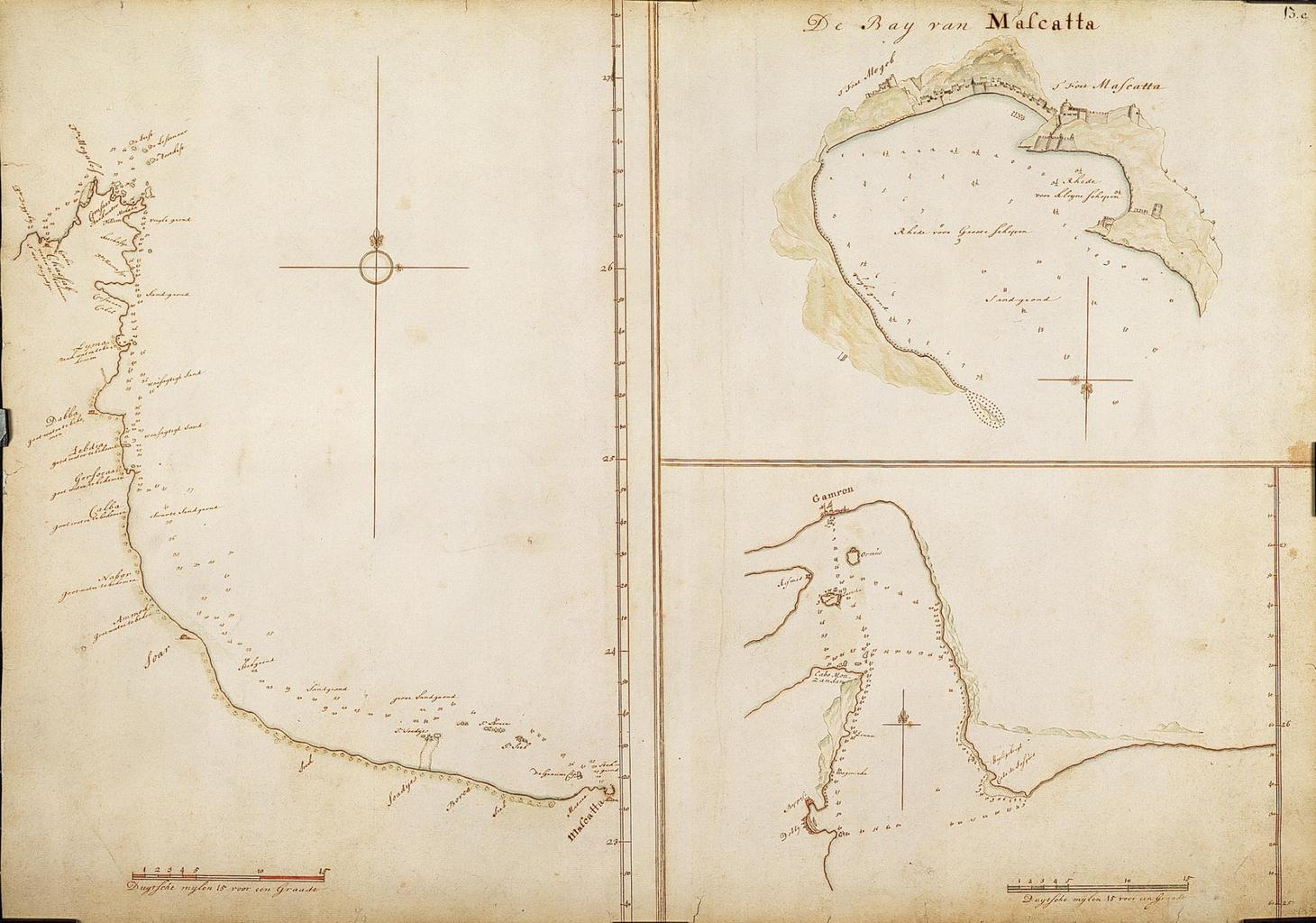
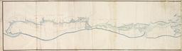
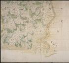
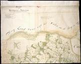
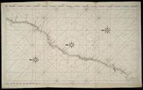
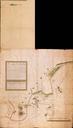
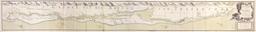
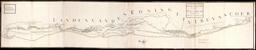
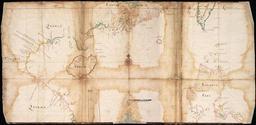
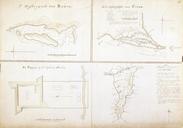
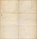
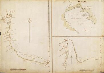
AMHNA Map of part of the Persian Gulf from Mascate to Pt. Doggeby. Artwork nl Kaart van een gedeelte van de Persische Golf van Mascate tot Pt Doggeby nl Titel catalogus Leupe NA Kaart van een gedeelte van den Persischen Golf van Mascate tot Pt Doggeby Drie inzetkaarten met de baai van Mascatta Rechtsboven De Bay van Mascatta Links


