Related Images


Download:
| Tiny | 78x128 | View | Download |
| Small | 156x256 | View | Download |
| Medium | 312x512 | View | Download |
| Large | 625x1024 | View | Download |
| Original | 1466x2400 | View | Download |
This image was acquired from
wikimedia. It was marked as Public Domain or CC0 and is free to use. To verify, go to the source and check the information there.
Looking for more info about this image?
Try a Google Reverse Image Search for it.
Try a Google Reverse Image Search for it.
Keywords from Image Description:
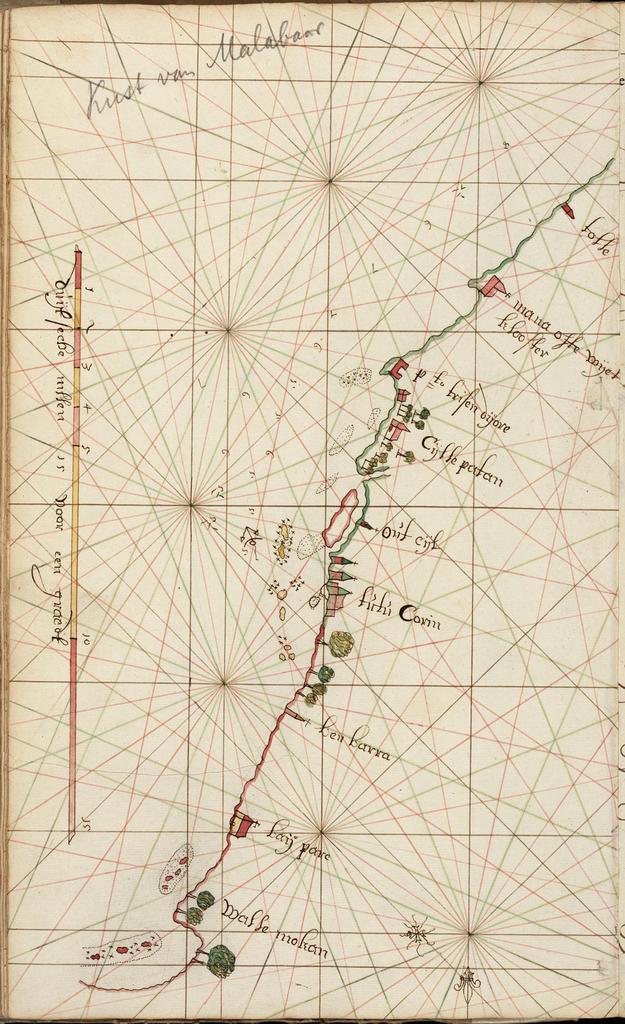
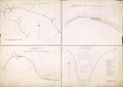
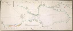
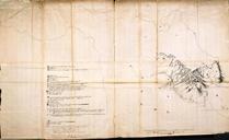
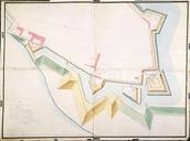
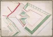
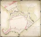
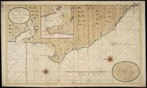
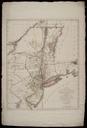
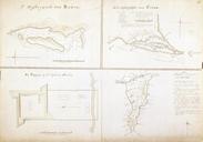
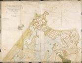
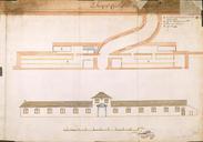
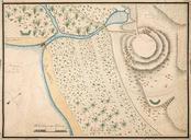
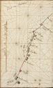
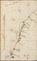
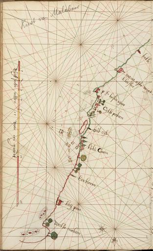
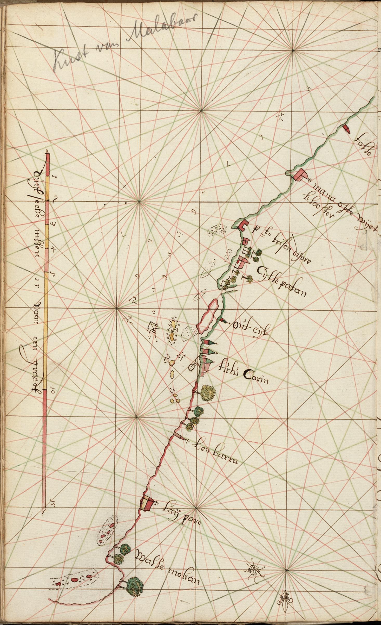
AMHNA Map of the Tutecorijn bend. Artwork nl Kaart van de bocht van Tutecorijn nl Titel in catalogus Leupe Nationaal Archief Kaart van de kust van Mallabaar van Tolle tot Wallemokan Notitie in catalogus Leupe kust Malabar van Tolle tot Wallemokan kaart te vinden in Aanwinsten Schenking Departement van Kolonien zie Verslag blz