Related Images


Download:
| Tiny | 261x128 | View | Download |
| Small | 522x256 | View | Download |
| Medium | 1045x512 | View | Download |
| Large | 2091x1024 | View | Download |
| Original | 2400x1175 | View | Download |
This image was acquired from
wikimedia. It was marked as Public Domain or CC0 and is free to use. To verify, go to the source and check the information there.
Looking for more info about this image?
Try a Google Reverse Image Search for it.
Try a Google Reverse Image Search for it.
Keywords from Image Description:
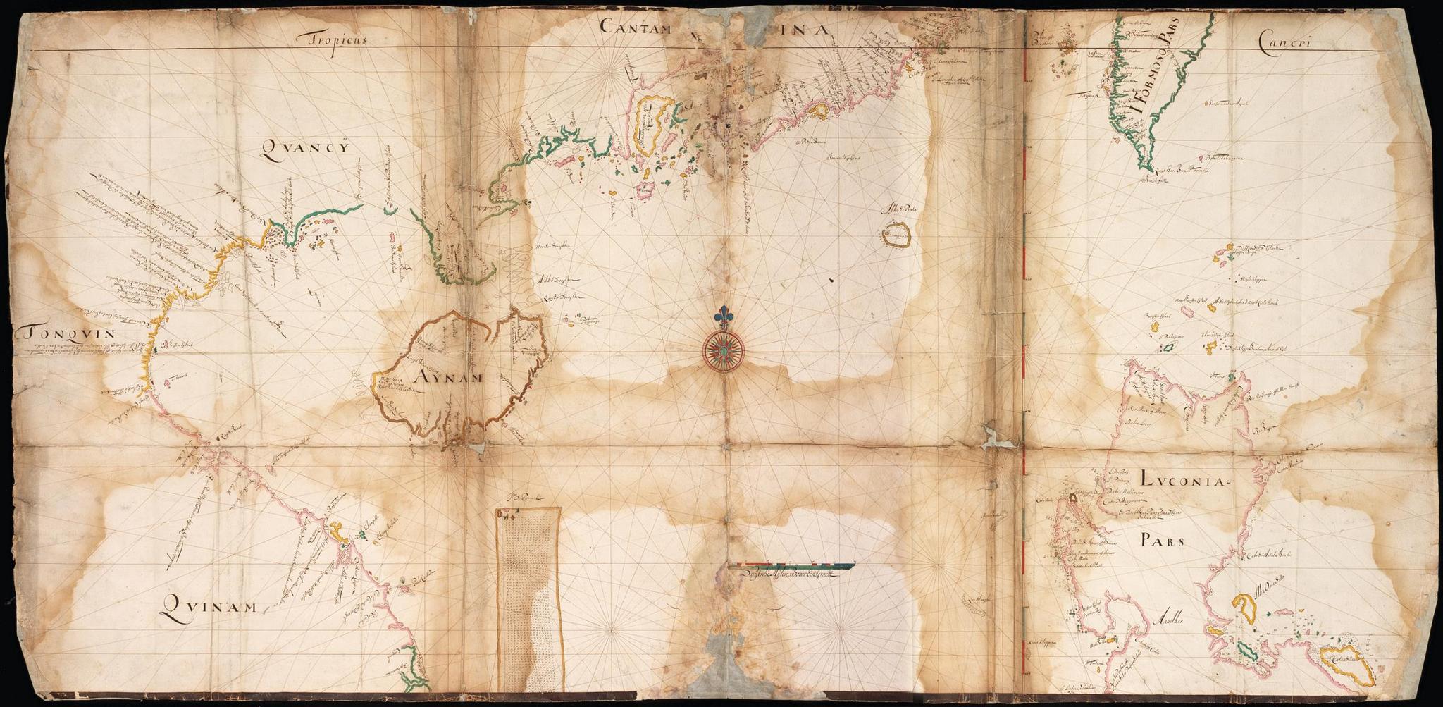
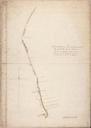
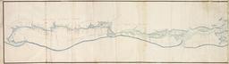
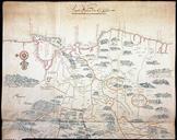
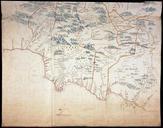
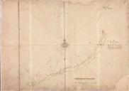
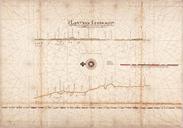
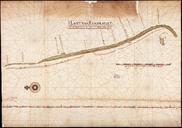
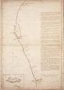
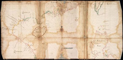
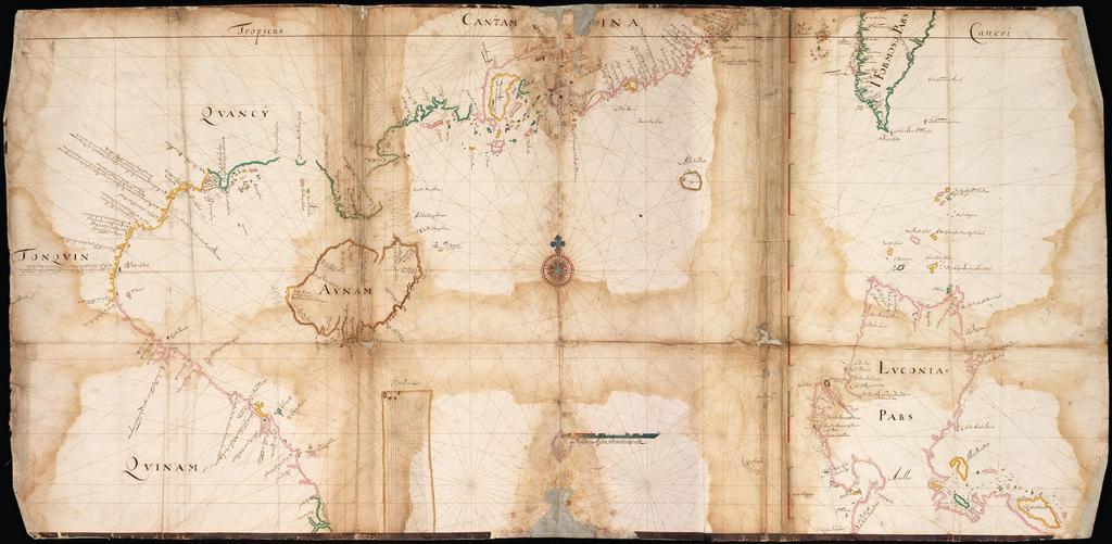
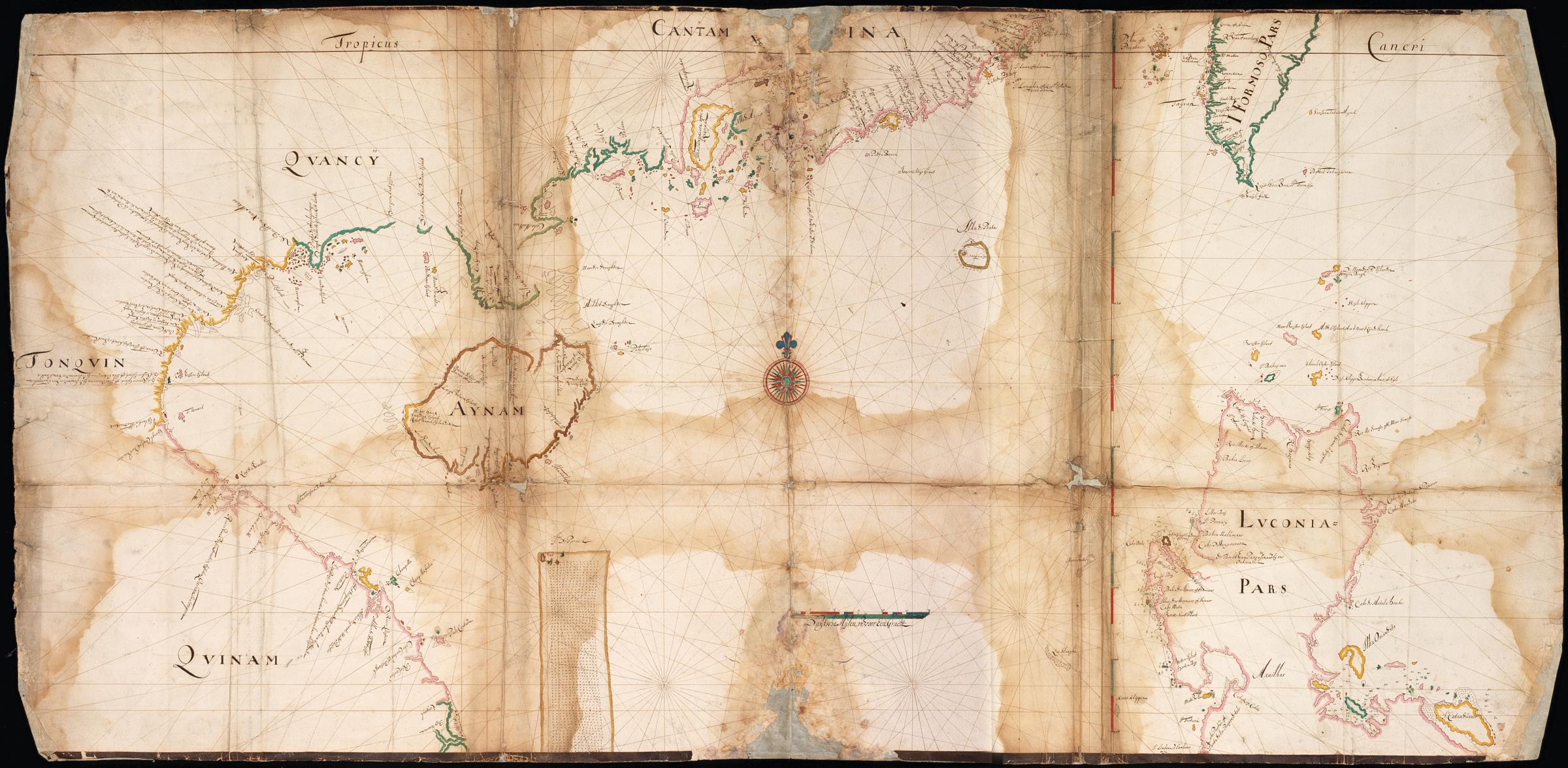
AMHNA Map showing part of the Chinese and Vietnamese coast and southern Formosa. Artwork nl Kaart van een gedeelte van de Chinese en Vietnamese kust en zuidelijk Formosa nl Titel in catalogus Leupe Nationaal Archief Kaart van een gedeelte der Chinesche Zee en Kust van de Boxhoornen tot Texelsbay een gedeelte der Philippynsche Eilanden