Related Images
Download:
| Tiny | 149x128 | View | Download |
| Small | 298x256 | View | Download |
| Medium | 597x512 | View | Download |
| Large | 1194x1024 | View | Download |
| Original | 2400x2057 | View | Download |
This image was acquired from
wikimedia. It was marked as Public Domain or CC0 and is free to use. To verify, go to the source and check the information there.
Looking for more info about this image?
Try a Google Reverse Image Search for it.
Try a Google Reverse Image Search for it.
Keywords from Image Description:
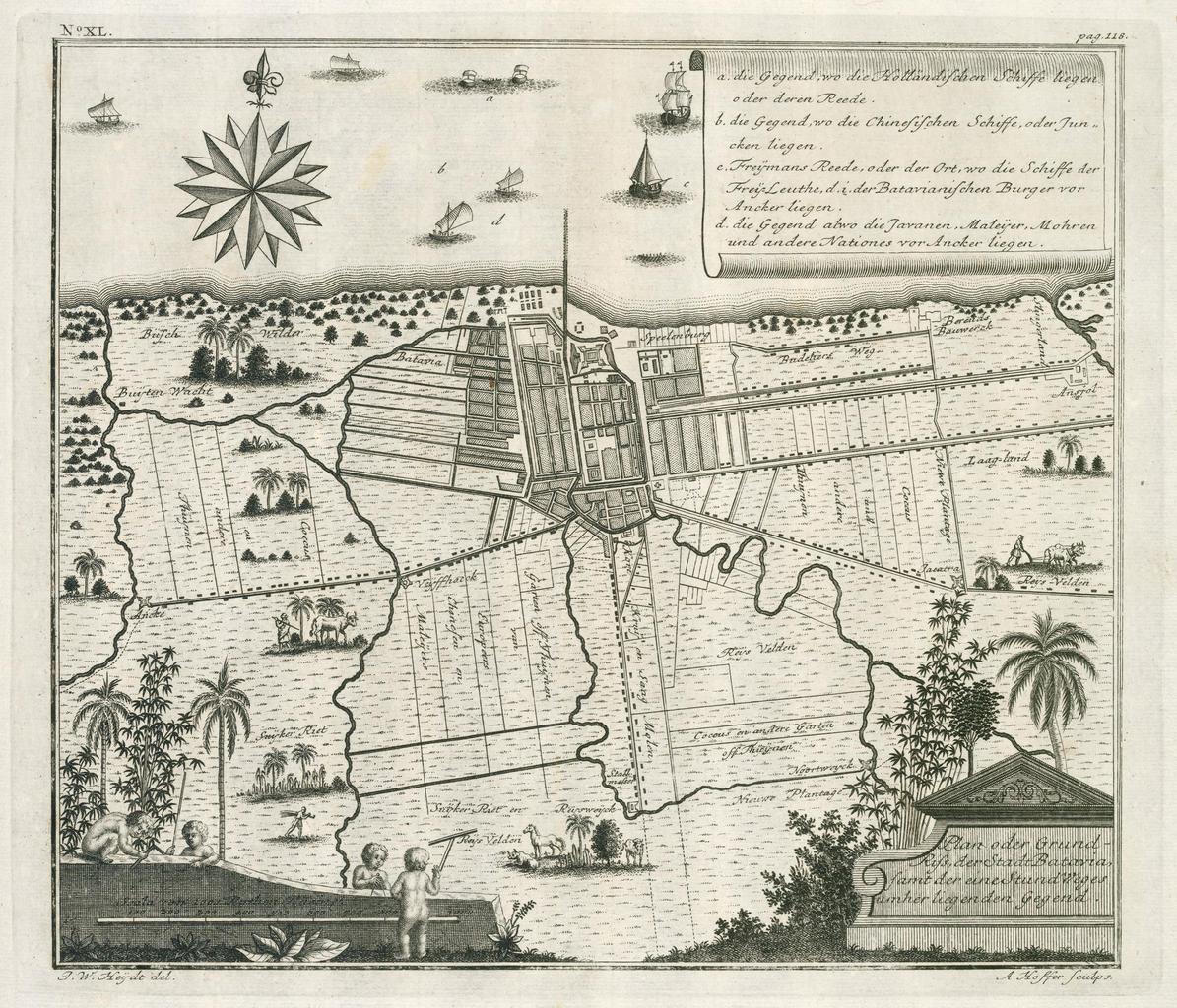
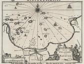
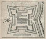
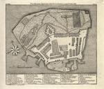
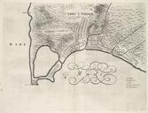
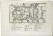
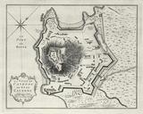
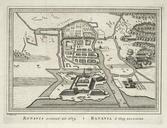
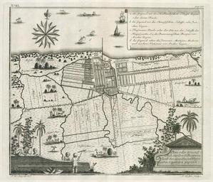
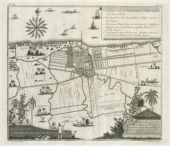
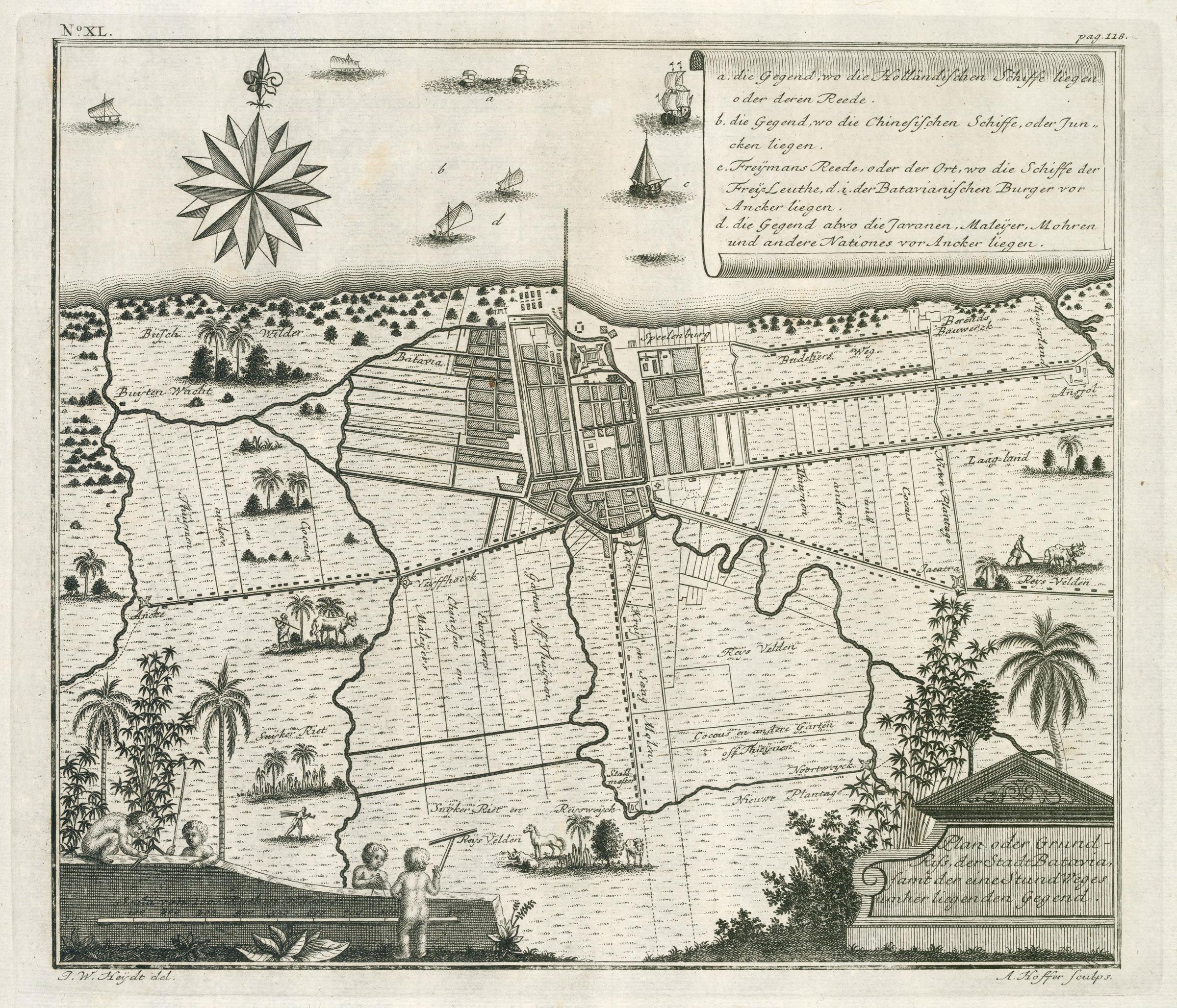
AMHKB Map of the city of Batavia. Artwork nl Plattegrond van de stad Batavia nl Plattegrond van de stad Batavia Plan oder GrundRiss der Stadt Batavia samt der eine Stund Weges Unher liegenden Gegend Linksboven No XL Rechtsboven pag Legenda die Gegend wo die Hollndischen Schiffe liegen oder deren Reede die Gegend wo die Chinensischen