
Related Images


Download:
| Tiny | 197x128 | View | Download |
| Small | 394x256 | View | Download |
| Medium | 789x512 | View | Download |
| Large | 1579x1024 | View | Download |
| Original | 2400x1556 | View | Download |
This image was acquired from
wikimedia. It was marked as Public Domain or CC0 and is free to use. To verify, go to the source and check the information there.
Looking for more info about this image?
Try a Google Reverse Image Search for it.
Try a Google Reverse Image Search for it.
Keywords from Image Description:
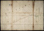
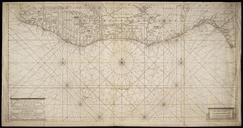
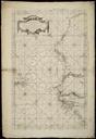
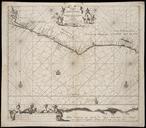
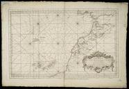
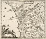
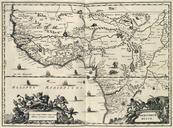
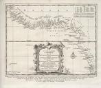
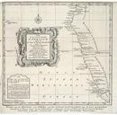
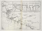
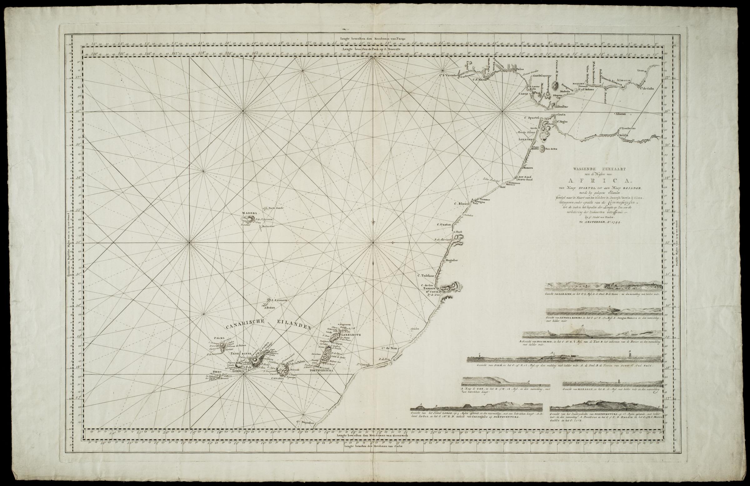
AMHNA Map of west Africa. Artwork nl Kaart van west Afrika nl Titel catalogus Leupe NA Wassende Zeekaart van de Kusten van Afrika van Kaap Spartel tot aan Kaap Bojador met de bijgelegen eilanden gevolgd naar de kaart van den Ridder Joseph Varela Ulloa Uitgegeven door Hulst van Keulen en Title in the Leupe catalogue NA Wassende Zeekaart