
Related Images


Download:
| Tiny | 150x128 | View | Download |
| Small | 301x256 | View | Download |
| Medium | 602x512 | View | Download |
| Large | 1205x1024 | View | Download |
| Original | 2400x2039 | View | Download |
This image was acquired from
wikimedia. It was marked as Public Domain or CC0 and is free to use. To verify, go to the source and check the information there.
Looking for more info about this image?
Try a Google Reverse Image Search for it.
Try a Google Reverse Image Search for it.
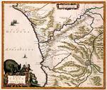
Keywords from Image Description:
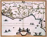
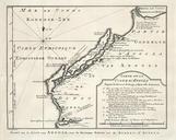
AMHKB Map of the African coast at the latitude of Congo and Angola. Artwork nl Kaart van de Afrikaanse kust ter hoogte van Congo en Angola nl Kaart van de Afrikaanse kust ter hoogte van Congo en Angola Regna Congo et Angola In zijn 'Atlas Maior' die in in delen verscheen nam Joan Blaeu nieuwe kaarten van Afrika op Het is veelal