
Related Images
Download:
| Tiny | 162x128 | View | Download |
| Small | 325x256 | View | Download |
| Medium | 650x512 | View | Download |
| Large | 1301x1024 | View | Download |
| Original | 2400x1889 | View | Download |
This image was acquired from
wikimedia and wikimedia. It was marked as Public Domain or CC0 and is free to use. To verify, go to the source and check the information there.
Looking for more info about this image?
Try a Google Reverse Image Search for it.
Try a Google Reverse Image Search for it.
Keywords from Image Description:
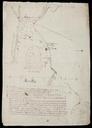
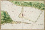
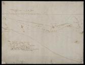
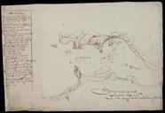
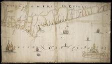
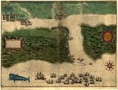
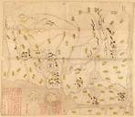
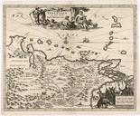
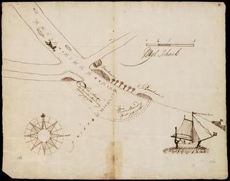
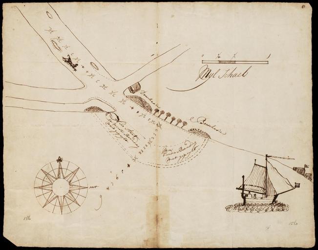
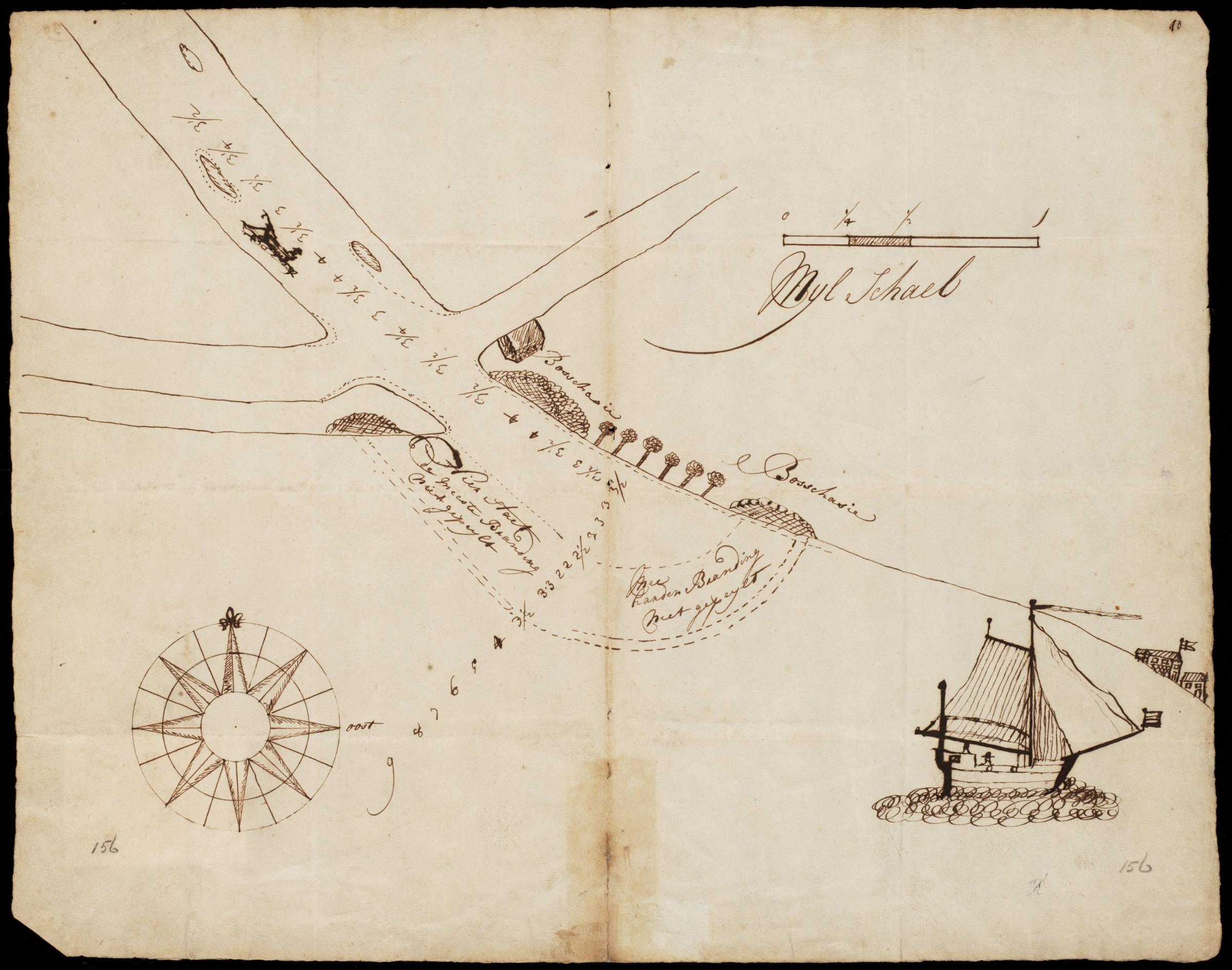
AMHNA Map of the mouth of the Rio Volta Ghana or Namibia. Artwork nl Kaart van de monding van Rio Volta Ghana of Namibi nl Kaart van de monding van Rio Volta Ghana of Namibi Titel catalogus Leupe NA Kaartje van de Rio Volta opgenomen door den schipper en stuurlieden van de Comp Bark Utrecht Rechtsboven genummerd dat moet het folionummer