
Related Images


Download:
| Tiny | 184x128 | View | Download |
| Small | 369x256 | View | Download |
| Medium | 738x512 | View | Download |
| Original png | 1476x1024 | View | Download |
| Original as jpg | 1476x1024 | View | Download |
This image was acquired from
wikimedia. It was marked as Public Domain or CC0 and is free to use. To verify, go to the source and check the information there.
Looking for more info about this image?
Try a Google Reverse Image Search for it.
Try a Google Reverse Image Search for it.
Keywords from Image Description:
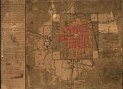
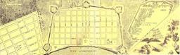
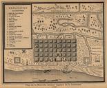
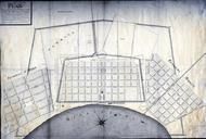
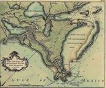
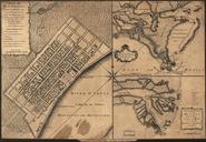
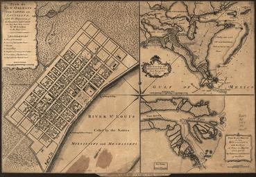
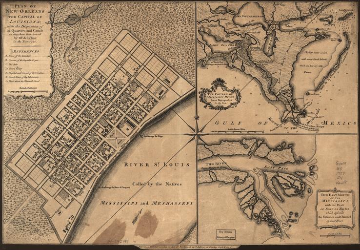
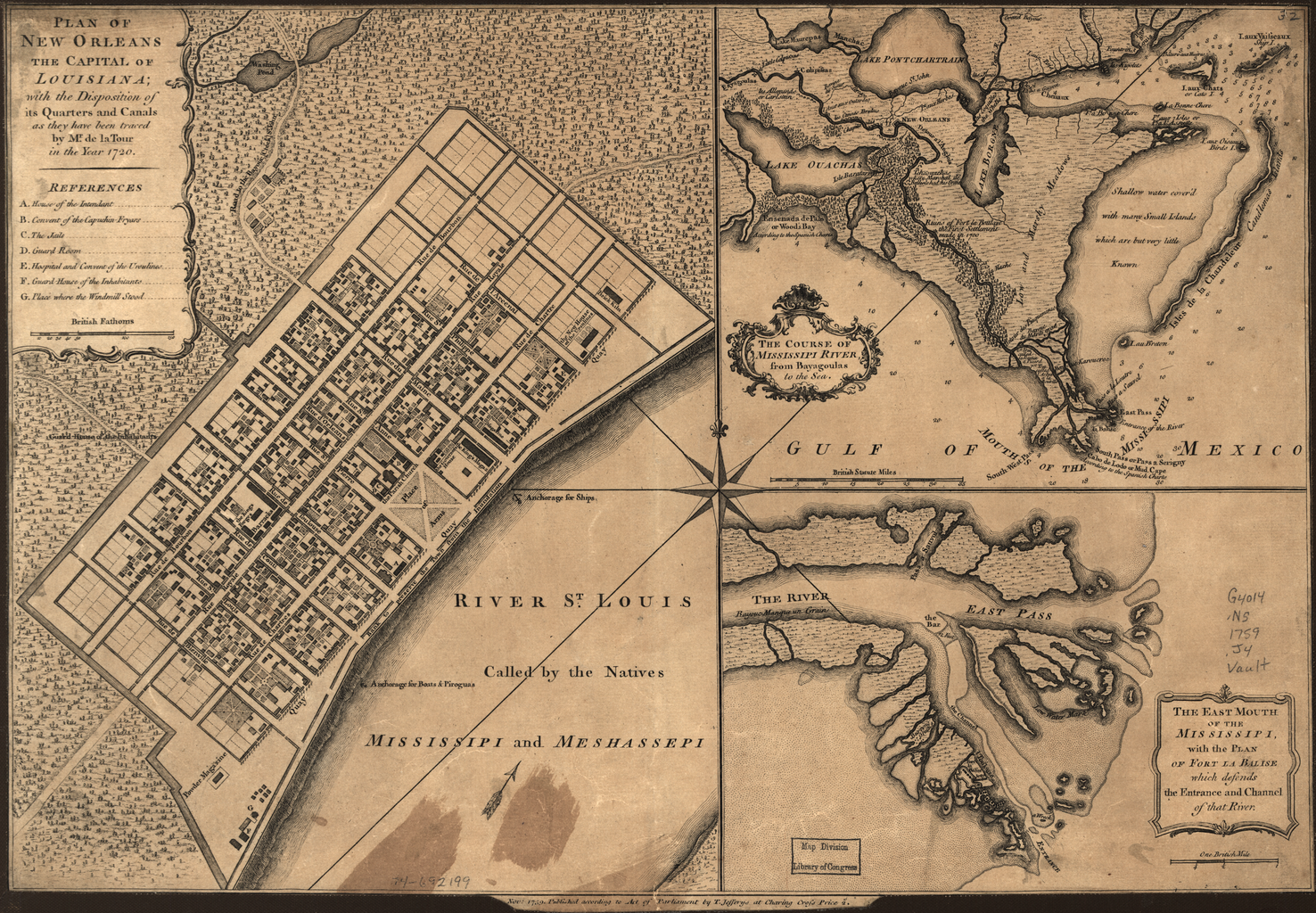
Plan of New Orleans the Capital of Louisiana With the Disposition of Its Quarters and Canals as They Have Been Traced by Mr. de la Tour in the Year WDL. Artwork ru fr Plan de La NouvelleOrlans capitale de la Louisiane avec l'emplacement de ses quartiers et cours d'eau tels qu'ils ont tracs par de la Tour