
Related Images


Download:
| Tiny | 122x128 | View | Download |
| Small | 244x256 | View | Download |
| Medium | 488x512 | View | Download |
| Large | 976x1024 | View | Download |
| Original | 4472x4690 | View | Download |
This image was acquired from
wikimedia. It was marked as Public Domain or CC0 and is free to use. To verify, go to the source and check the information there.
Looking for more info about this image?
Try a Google Reverse Image Search for it.
Try a Google Reverse Image Search for it.
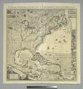
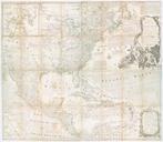
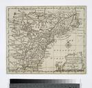
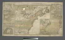
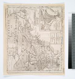
Keywords from Image Description:
An accurate map of the British Empire in Nth. America as settled by the preliminaries in NYPL b. en Relief shown pictorially Longitude west from London and Longitude west from Ferro In upper right margin Gent Mag From Gentleman's magazine Dec Includes note and inset chart of the entrance of the Mississippi Citation LC Maps of North