Related Images


Download:
| Tiny | 114x128 | View | Download |
| Small | 228x256 | View | Download |
| Medium | 457x512 | View | Download |
| Large | 914x1024 | View | Download |
| Original tiff | 4632x5187 | View | Download |
| Original as jpg | 4632x5187 | View | Download |
This image was acquired from
wikimedia. It was marked as Public Domain or CC0 and is free to use. To verify, go to the source and check the information there.
Looking for more info about this image?
Try a Google Reverse Image Search for it.
Try a Google Reverse Image Search for it.
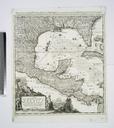
Keywords from Image Description:
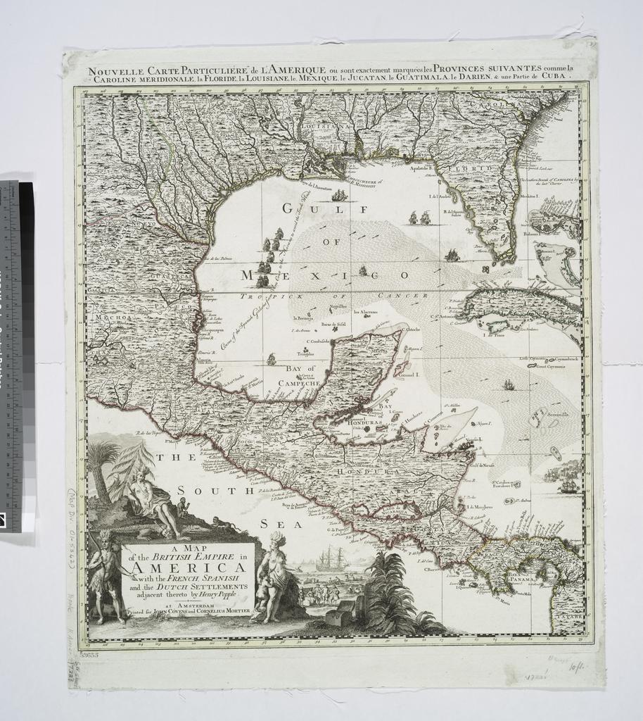
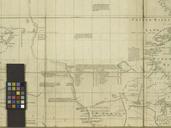
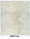
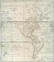
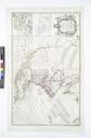
A map of the British empire in America with the French Spanish and the Dutch settlements adjacent thereto NYPL b. en Includes text ill decorative cartouche and compass rose National Endowment for the Humanities Grant for Access to Early Maps of the Middle Atlantic Seaboard Relief shown pictorially and depths shown by soundings State