Related Images


Download:
| Tiny | 104x128 | View | Download |
| Small | 209x256 | View | Download |
| Medium | 418x512 | View | Download |
| Large | 837x1024 | View | Download |
| Original | 1509x1846 | View | Download |
This image was acquired from
wikimedia. It was marked as Public Domain or CC0 and is free to use. To verify, go to the source and check the information there.
Looking for more info about this image?
Try a Google Reverse Image Search for it.
Try a Google Reverse Image Search for it.
Keywords from Image Description:
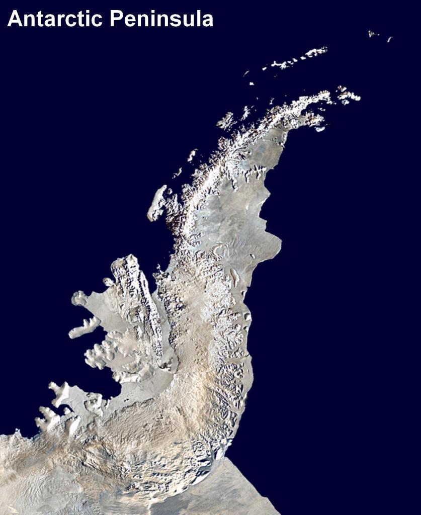
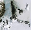
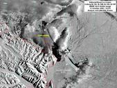
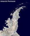
Antarctic Peninsula satellite image. Antarctic Peninsula satellite image An orthographic projection of NASA's Blue Marble data set km resolution global satellite composite MODIS observations of polar sea ice were combined with observations of Antarctica made by the National Oceanic and Atmospheric Administration AVHRR sensor the