
Related Images


Download:
| Tiny | 142x128 | View | Download |
| Small | 284x256 | View | Download |
| Medium | 568x512 | View | Download |
| Large | 1136x1024 | View | Download |
| Original | 1863x1678 | View | Download |
This image was acquired from
wikimedia. It was marked as Public Domain or CC0 and is free to use. To verify, go to the source and check the information there.
Looking for more info about this image?
Try a Google Reverse Image Search for it.
Try a Google Reverse Image Search for it.
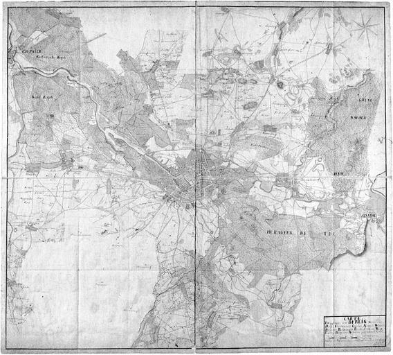
Keywords from Image Description:
Arends Carte Zwey Meilen um Berlin . Carte Zwey Meilen um BERLIN worin die Dorffer Vorwercker Grten Aecker Wiesen Brcher Holtzungen Teiche Strhme Wege Fusteige Berge und Anhhen gezeichnet sind Mas Stab von Teutsche Meile oder Schritt Format cm nur der Plan Mastab Orientierung Sd Kolorierte Handzeichnung Der Titel steht rechts