Related Images


Download:
| Tiny | 151x128 | View | Download |
| Small | 302x256 | View | Download |
| Medium | 604x512 | View | Download |
| Large | 1209x1024 | View | Download |
| Original | 8691x7358 | View | Download |
This image was acquired from
wikimedia. It was marked as Public Domain or CC0 and is free to use. To verify, go to the source and check the information there.
Looking for more info about this image?
Try a Google Reverse Image Search for it.
Try a Google Reverse Image Search for it.
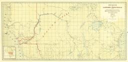
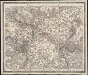
Keywords from Image Description:
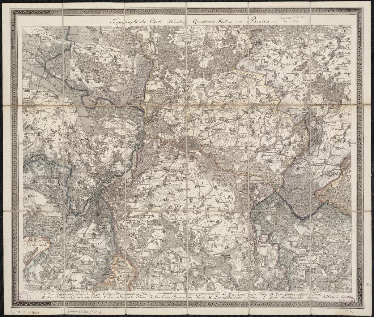
Topographische Carte Hundert QuadratMeilen um Berlin . Schneider Norman Leventhal Map Center at the Boston Public Library bpl org online map date Berlin location yes de Salfeld Lud Schmidt print date Institution Boston Public Library accession number Tx Size cm Size cm map size copper engraving colored Literatur Schulz